


Transforming Road Infrastructure
Management with Digital Twins
and AI Technologies.


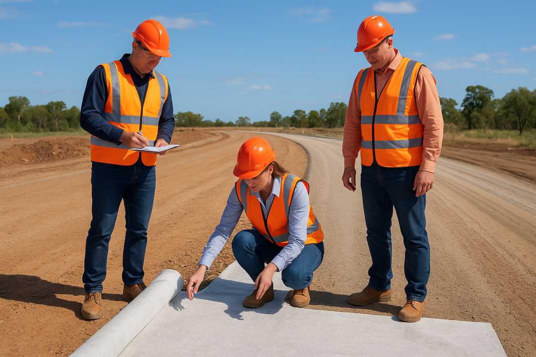
Designing roads in Australia involves a strategic balance between functionality, safety, and sustainability. One of the most critical decisions in the planning phase is whether the project is a brownfield (modification of existing infrastructure) or greenfield (new construction on undeveloped land) development. While both aim to improve transport efficiency and safety, they present vastly different geometric design challenges.
This blog explores these differences in detail, referencing standards from the Austroads Guide to Road Design Part 3 and offers insights relevant for civil engineers, planners, and policymakers in Australia.

A greenfield site refers to undeveloped land where a new road is constructed from scratch. These sites offer the most design flexibility as there are minimal constraints from existing structures or topography. Standard Normal Design Domain (NDD) values can typically be used without significant compromises.
A brownfield site involves upgrades or modifications to existing roads or infrastructure. These locations usually contain constraints such as buildings, utilities, or environmental limitations. In such cases, designers may need to work outside the NDD and sometimes use Extended Design Domain (EDD) values that are validated through prior research or field experience.
Australia’s diverse geography from arid deserts to dense urban centres requires adaptable design standards. Austroads encourages the use of Vision Zero principles to minimize fatalities and serious injuries across all road projects. Whether brownfield or greenfield, all designs must be:
Understanding the geometric design differences between brownfield and greenfield road projects is critical for developing safe, efficient, and sustainable transport networks in Australia. While greenfield projects provide design freedom, brownfield developments require innovation within constraints. With the right planning, both can achieve outstanding outcomes.
RoadVision AI is revolutionizing road infrastructure management in Australia by leveraging AI in roads to enhance road safety and maintenance. Through advanced pothole detection, pavement condition surveys, and traffic surveys, the platform supports early identification of surface issues, reducing traffic congestion and improving driving conditions. By aligning with Austroads guidelines on vertical and horizontal curve coordination, RoadVision AI integrates digital twin technology to provide a comprehensive, data-driven approach to road asset management, ensuring safer, smoother, and smarter roads for all users.
Brownfield projects involve upgrading existing infrastructure, while greenfield refers to new constructions.
Limited space and outdated geometry often complicate upgrades, affecting road alignment and safety.
Standards like AGRD03-16 are referenced to balance safety, speed, and alignment in both project types.
Transforming Road Infrastructure
Management with Digital Twins
and AI Technologies.