.webp)
AI pavement assessment that evaluates road conditions, predicts
deterioration, and prioritizes maintenance across your entire network.
40+ distress types across all road surfaces, aligned with international standards.
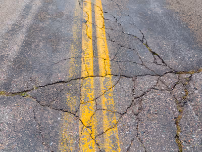
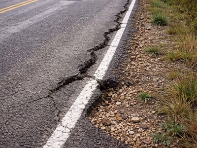
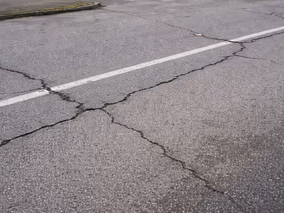
Longitudinal, transverse, alligator, block, map, edge
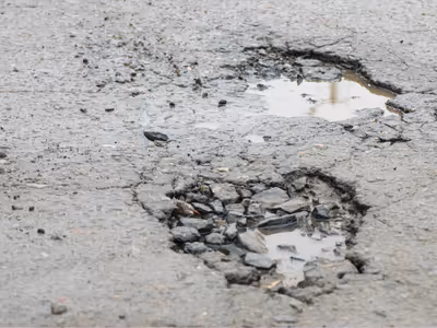
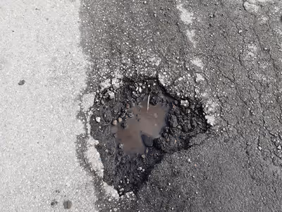
Surface failures with depth and area assessment
Wheel path depressions and permanent deformation
Aggregate loss, flushing, and surface wear

Asphalt/binder overflow and surface slickness
Shoulder breaks, edge separation, and crumbling
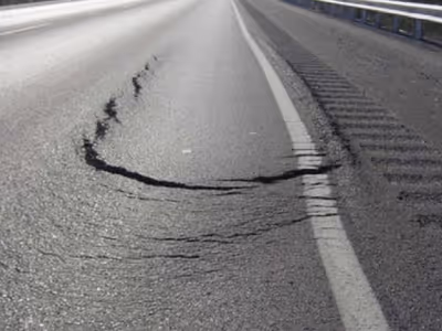
Crescent-shaped cracks from layer movement
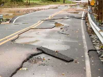
Cracks reflecting from underlying layers
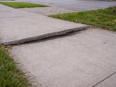
Pavement surface displacement and unevenness
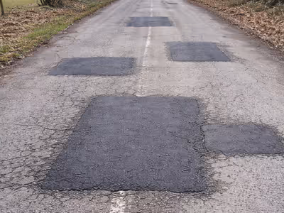
Condition, integrity, and re-cracking of previous repairs
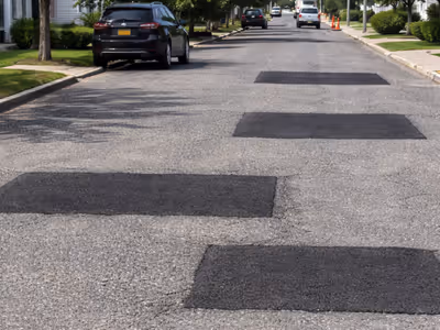
Service line restoration quality and failures
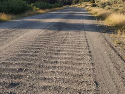
Washboard ripples and surface undulation
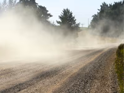
Unpaved road erosion and depressions
Surface aggregate loss and instability
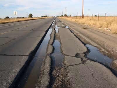
Material loss from water damage
Longitudinal, transverse, alligator, block, map, edge
Surface failures with depth and area assessment
Wheel path depressions and permanent deformation
Aggregate loss, flushing, and surface wear
Asphalt/binder overflow and surface slickness
Shoulder breaks, edge separation, and crumbling
Crescent-shaped cracks from layer movement
Cracks reflecting from underlying layers
Surface displacement and unevenness
Integrity, re-cracking, and failure of previous repairs
Service line restoration quality and failures
Washboard ripples and undulation
Unpaved erosion and depressions
Surface instability
Material loss from water damage

The Autonomous Road Engineer
AI that is transforming road infrastructure, from reactive to predictive.