.webp)
AI agent that identifies high-risk road locations by correlating crash data, road
conditions, and traffic behavior-enabling data-driven safety interventions.
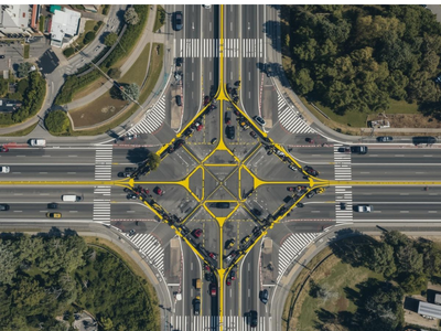
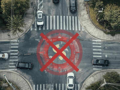
Junctions and crossing points
Geometric transition zones
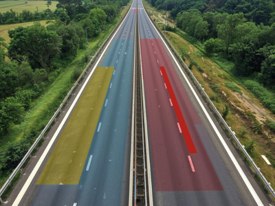
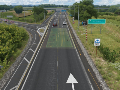
High-speed road sections
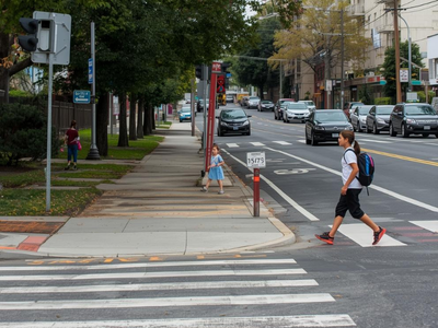
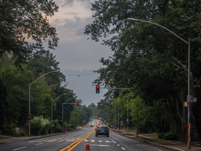
School zones and crossings
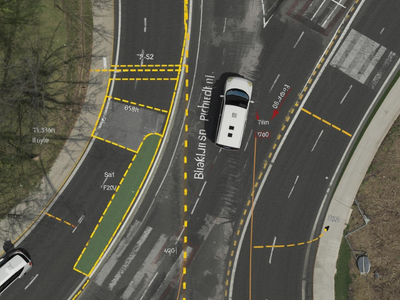
Junctions and crossing points
Geometric transition zones
High-speed road sections
School zones and crossings
Concentration and severity trends
Unsafe maneuvers and near-misses
Signage, markings, lighting issues
Visibility and design deficiencies
Pavement and roadside hazards
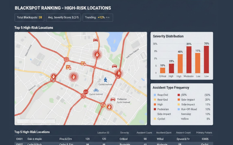
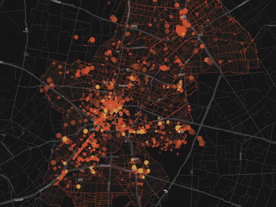
High-risk locations by severity and accident patterns
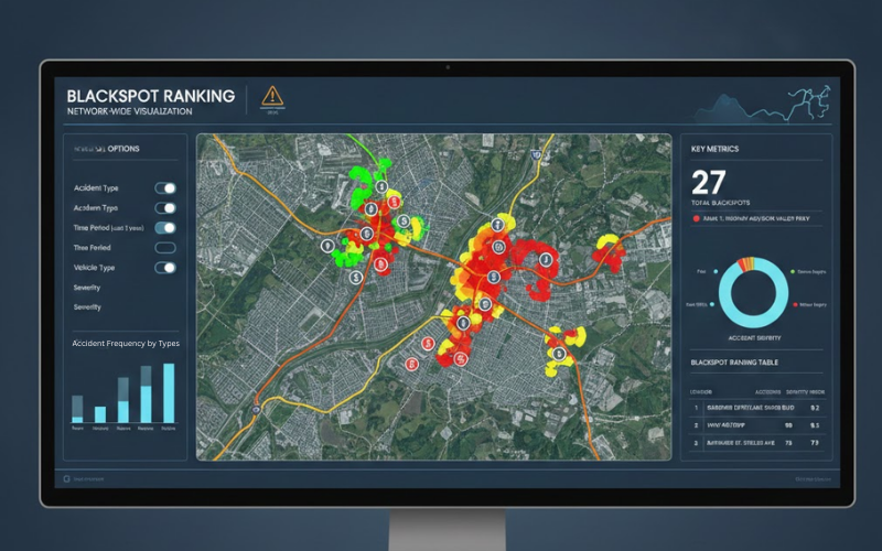
Network-wide visualization of blackspot hotspots
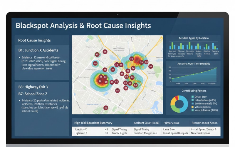
Why each location is high-risk with evidence
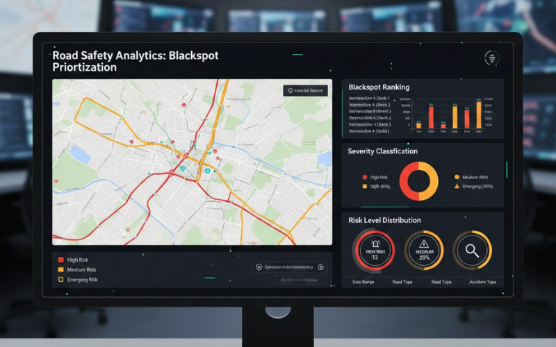
High / Medium / Emerging risk levels
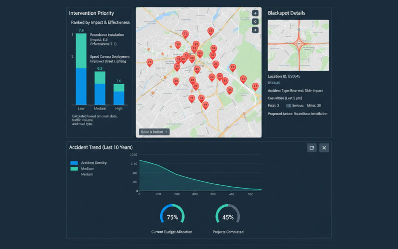
Ranked by impact potential and cost-effectiveness
Monitor safety improvements post-intervention
High-risk locations by severity and accident patterns
Network-wide visualization of blackspot hotspots
Why each location is high-risk with evidence
High / Medium / Emerging risk levels
Ranked by impact potential and cost-effectiveness
Monitor safety improvements post-intervention

The Autonomous Road Engineer
AI that is transforming road infrastructure, from reactive to predictive.