
AI pavement condition monitoring Chile — MOP VIALIDAD Indice de Estado compliant inspection, concession contract verification, and seismic rapid assessment for MOP, SERVIU, and concession operators.
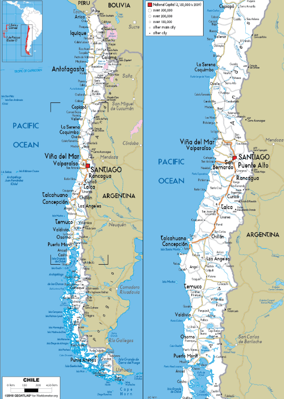
Chile's 3,600 km concession model is a Latin American benchmark. Below it, MOP Vialidad runs the national network including the 4,300-km Ruta 5 spine, SERVIU manages regional routes, and municipalities manage 58% of the total. Chile highway asset management AI serves all four tiers within a single platform calibrated to Chilean standards.
Outputs built for Chilean road engineering practice. Every condition index, climate calibration, and report format is configured to the relevant MOP standard or concession contract specification — not adapted from US or European templates.
Chile's primary network condition metric on a 1–5 scale. RoadVision AI generates IE-compatible assessments from dashcam and LiDAR for continuous VIALIDAD national network monitoring and annual IE reporting cycles.
Network-scale IRI aligned to MOP thresholds: Good <2.0 m/km | Fair 2.0–3.5 | Poor >3.5 m/km — configurable per concession contract annex. Climate-zone correction applied per region, not per national average.
Road safety audit and asset inventory agents reference Manual de Carreteras distress classification and countermeasure specifications for all VIALIDAD and SERVIU outputs.
Outputs structured to meet contract-specific performance annexes — monthly IRI and IE compliance dashboards for both concessionaire reporting and MOP independent verification teams.
Deterioration models incorporate PUC-DICTUC regional calibrations for Norte Grande, Central Valley, Sur, and Patagonian climate zones — the most authoritative Chilean pavement performance research available.
Rapid damage assessment outputs structured for SENAPRED road accessibility reporting following earthquakes, volcanic events, tsunamis, and extreme rainfall — pre-formatted for emergency coordination and reconstruction funding.
Georeferenced, timestamped condition records with full audit trail — structured to support MOP's public spending accountability reporting to Contraloria General de la Republica.
Norte Grande Calibration: Atacama desert conditions — extreme thermal expansion (50+°C daily range), surface oxidation, wind-blown sediment ingress, and prolonged UV exposure — systematically distort standard IRI readings. RoadVision AI applies Norte Grande-specific corrections for accurate mining corridor and carretera austral assessments across Regions I, II, and III.
AI highway inspection software Chile MOP — six agents covering every major workflow from VIALIDAD IE/IRI reporting across 16 regions, to concession compliance, Norte Grande mining ESAL monitoring, seismic rapid assessment, and ENST road safety audit.
Network-scale IE (1–5) and IRI from dashcam or LiDAR — climate-zone calibrated across Norte Grande, Central Valley, Sur, Araucania, and Patagonia.
MOP VIALIDAD IE methodology; IRI thresholds per concession contract annex; Manual de Carreteras distress classification
Dashcam video or LiDAR — no specialist survey vehicle required; satellite coverage deployed for Regions XI and XII
CLP ~$20,000–$60,000/lane-km vs. CLP ~$150,000–$500,000 for traditional survey
Monthly IE and IRI updates replace 4–6 year survey cycles across SERVIU and municipal networks
Continuous independent IRI and IE tracking for all MOP concession corridors — daily compliance monitoring against contract-specific performance thresholds.
IRI and IE thresholds per MOP concession performance annexes; penalty clause trigger alerts; contract arbitration evidence packages
Monthly compliance dashboards — IRI/IE breach risk alerts, concessionaire performance rankings, MOP independent verification reports
Satellite road damage detection within hours of an earthquake, volcanic eruption, tsunami, or extreme rainfall event.
Full national seismic zone coverage — including Santiago metropolitan area (M7+ risk), Bio-Bio, Araucania, and coastal tsunami corridors
SENAPRED road accessibility maps, MOP emergency route classification, reconstruction documentation — generated simultaneously with field response mobilisation
Copper and lithium freight corridors — Mejillones-Calama, Antofagasta port access, Sierra Gorda-Baquedano, El Salvador-Potrerillos.
Continuous ESAL accumulation modelling vs. structural design assumptions; thermal expansion correction for Atacama IRI readings
Predictive structural failure alerts before visible surface distress; monthly corridor reports for mining operators and MOP Vialidad
Sign, guardrail, line marking, drainage, culvert, and retaining wall — condition and compliance referenced to Manual de Carreteras specifications.
Manual de Carreteras asset classification; SERVIU regional asset register formats; Contraloria-auditable condition records
Asset registers for VIALIDAD national network, SERVIU regional programmes, and municipal maintenance plans
Computer vision — pavement condition, roadside geometry, signage compliance, sight distance, guardrail continuity, blackspot correlation.
MOP road safety audit methodology; Manual de Carreteras safety specifications; Chile ENST targets; iRAP for international benchmarking
High-accident location scoring at network scale; countermeasure evidence for MOP safety programmes and SERVIU regional road safety plans
Traditional surveys cost CLP $150,000–$500,000 per lane-km — unaffordable annually across 77,764 km. AI-powered road inspection Chile delivers the annual coverage and concession precision that Chile's infrastructure demands at a fundamentally different cost point.
Annual coverage across 77,764 km becomes viable for the first time
Cost advantage at MOP IRI 2.0–3.5 m/km vs. full rehabilitation above 3.5
IRI/IE breach alerts enable early intervention before penalty triggers
Vs. days — critical for SENAPRED and emergency services
Pavement management software Chile with Contraloria-grade audit trail and SERVIU/municipal annual coverage — 88% of the network, previously surveyed every 4–6 years, now viable annually.
For Chile's Ley de Compras Publicas (Law 19,886), ChileCompra / Mercado Publico procurement, MOP VIALIDAD institutional timelines, and full technical documentation in Spanish and English.
Benchmark AI outputs against existing VIALIDAD PMS or concession audit data.
Full national, regional, or concession coverage across all 16 regions.
Predictive scheduling replaces 4–6 year survey cycles as primary evidence base.
Procurement: Compliant with Ley de Compras Publicas (Law 19,886) · available through ChileCompra / Mercado Publico · compatible with MOP VIALIDAD and SERVIU procurement processes · Contraloria-auditable contract and delivery records.
Whether you manage MOP national highways, a concession corridor under performance contract, a SERVIU regional network, or Norte Grande mining access routes — book a demonstration scoped to your IE and IRI standards, your concession contract specifications, and your regional climate zone.

The Autonomous Road Engineer
AI that is transforming road infrastructure, from reactive to predictive.
RoadVision AI Private Limited,
Office No. 308 & 310, B Block, Ansal
Chamber - 1, Bhikaji Cama Place,
Near Engineers India Limited (EIL)
Bhawan, New Delhi - 110066