The Annual Local Authority Road Surveys (ALARS) are a critical pillar of road asset management across the UK. Driven by data from the Asphalt Industry Alliance and widely adopted by local highway authorities, ALARS helps councils understand carriageway condition, long-term deterioration, structural resilience, and maintenance funding requirements.
These insights feed directly into council road-condition reports and play a decisive role in how the Department for Transport (DfT) allocates budgets and shapes national highways policy.
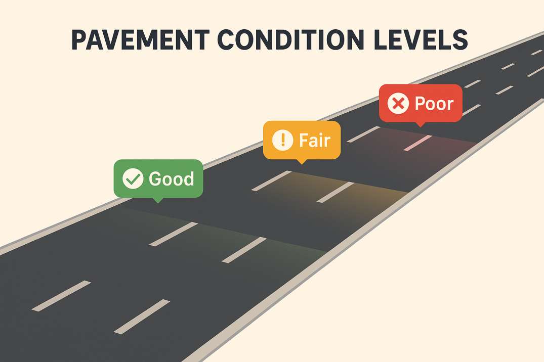
Yet, despite the importance of ALARS, many councils still rely on manual, sample-based inspections—often slow, subjective, and inconsistently documented. In today's digital era, AI-powered highway audits offer a modern way forward, transforming ALARS into a faster, accurate, and auditable process.
The ALARS dataset consistently highlights profound challenges facing local roads across England and Wales, including ageing pavements, increasing costs, and significant maintenance backlog. Councils must now deliver stronger evidence to:
As the saying goes, "you can't fix what you can't measure." Without reliable condition data, councils risk underestimating financial needs or missing early warning signs of network failure.
While ALARS is not a design code, it is deeply aligned with national asset-management principles backed by the DfT and UK road-maintenance frameworks. Key principles include:
2.1 Evidence-based condition reporting
Councils must submit robust, data-driven assessments to support funding and policy decisions—not anecdotal observations or limited sample surveys.
2.2 Network-wide visibility
ALARS encourages full-network understanding—not just reactive hotspot repairs—to enable strategic planning across entire highway inventories.
2.3 Long-term resilience planning
The data helps councils transition from "fix-on-fail" to proactive asset-management cycles that extend pavement life and reduce lifecycle costs.
2.4 Transparency and public accountability
Accurate metrics help justify maintenance plans and investment strategies to taxpayers, auditors, and oversight bodies.
2.5 Alignment with national safety and performance standards
ALARS findings complement wider DfT and National Highways safety expectations and reporting frameworks, including compliance with standards like GG 101 and GG 119.
These principles require precise, repeatable, and comprehensive data—areas where digital and AI technologies offer a step-change in capability.
RoadVision AI modernises ALARS reporting through automated, AI-driven inspections that capture complete, objective pavement-condition data at scale. Here's how the Pavement Condition Intelligence Agent revolutionises local authority surveys:
3.1 Continuous, High-Coverage Data Collection
Camera-equipped survey vehicles capture full-network imagery, eliminating the selective sampling used in manual inspections that leaves condition gaps. Councils get complete visibility—not educated estimates.
3.2 AI-Powered Condition Detection
Computer vision identifies:
This ensures consistent, repeatable results—free from human subjectivity and inspector-to-inspector variation.
3.3 Geo-Tagged, Timestamped Evidence
Every defect is backed by visual proof, mapped precisely across the network with GPS coordinates. This creates an undeniable record for audits, public inquiries, and funding justifications.
3.4 Automated DfT-Compliant Reporting
RoadVision AI structures outputs to align directly with DfT formats and local-authority reporting frameworks, eliminating manual report compilation and reducing administrative burden.
3.5 Integrated Asset-Management Modules
Beyond ALARS, the platform connects with:
This gives councils a single intelligent dashboard for holistic, AI-led road asset management.
3.6 Cost-Efficient Deployment
The system operates using existing municipal vehicles—no specialist fleet required. Refuse trucks, road sweepers, or routine patrol vehicles can collect data during normal operations.
In practice, councils "get more road inspected for every pound spent," a crucial advantage given tight local-government budgets.
Despite best efforts, manual ALARS procedures face several systemic constraints:
4.1 Limited Network Coverage
Spot checks and sample-based surveys leave significant gaps, generating incomplete condition profiles that misrepresent true network health.
4.2 Observer Bias
Human assessments vary by inspector, time of day, weather conditions, and fatigue—reducing consistency in reported condition grades across the network.
4.3 Slow Processing Cycles
Data collection, interpretation, and reporting often take months, meaning decisions are based on outdated information.
4.4 Weak Auditability
Manual notes, paper records, and scattered photographs rarely meet today's scrutiny requirements for transparency and evidence.
4.5 Difficulty Tracking Change Over Time
Historic comparisons become guesswork without structured, indexed data that enables like-for-like year-on-year analysis.
AI eliminates these constraints by delivering full-network, objective, and audit-ready outputs in days rather than months.
The shift from manual to AI-powered ALARS represents a transformational leap for UK road maintenance. Councils using RoadVision AI gain:
RoadVision AI is at the forefront of digital road maintenance, leveraging computer vision, AI-driven defect detection, and digital twin technology to deliver high-quality, data-rich reports. From traffic surveys to early detection of cracks and potholes, and from road-safety audits to network-wide condition assessments, RoadVision AI supports modern infrastructure planning anchored in accuracy and efficiency. Its alignment with DfT and UK Highways standards ensures councils meet national expectations while building more resilient networks.
As the old proverb goes, "a well-travelled road doesn't stay smooth by accident." With AI, councils can maintain safer, smarter, and more sustainable highways—without stretching already limited budgets.
Ready to optimise ALARS reporting and strengthen your DfT submissions? Book a demo with RoadVision AI today and discover how AI can transform local-authority road inspections.
Q1. What is ALARS, and how does it impact road maintenance?
ALARS gathers local road condition data used to inform DfT funding and shape council-level highway maintenance strategies.
Q2. Can AI-driven surveys replace SCANNER and visual inspections?
Yes. RoadVision AI provides detailed, consistent, and network-wide coverage that matches or exceeds traditional SCANNER methods.
Q3. How does this help councils meet audit requirements?
Each inspection is logged with time, location, and image-based proof, streamlining audits and strengthening data credibility.

The Autonomous Road Engineer
AI that is transforming road infrastructure, from reactive to predictive.
.webp)
.webp)
.png)