As Canadian cities continue to grow, roadway design is evolving beyond simply moving vehicles from one place to another. Modern transportation networks must support pedestrians, cyclists, transit users, freight movement, and emerging mobility solutions while remaining safe, resilient, and sustainable.
The Geometric Design Guide for Canadian Roads (GDG), published by the Transportation Association of Canada (TAC), serves as the national reference for roadway design across Canada. The guide helps municipalities, transportation agencies, consultants, and engineers create road networks that balance safety, mobility, accessibility, and environmental considerations.
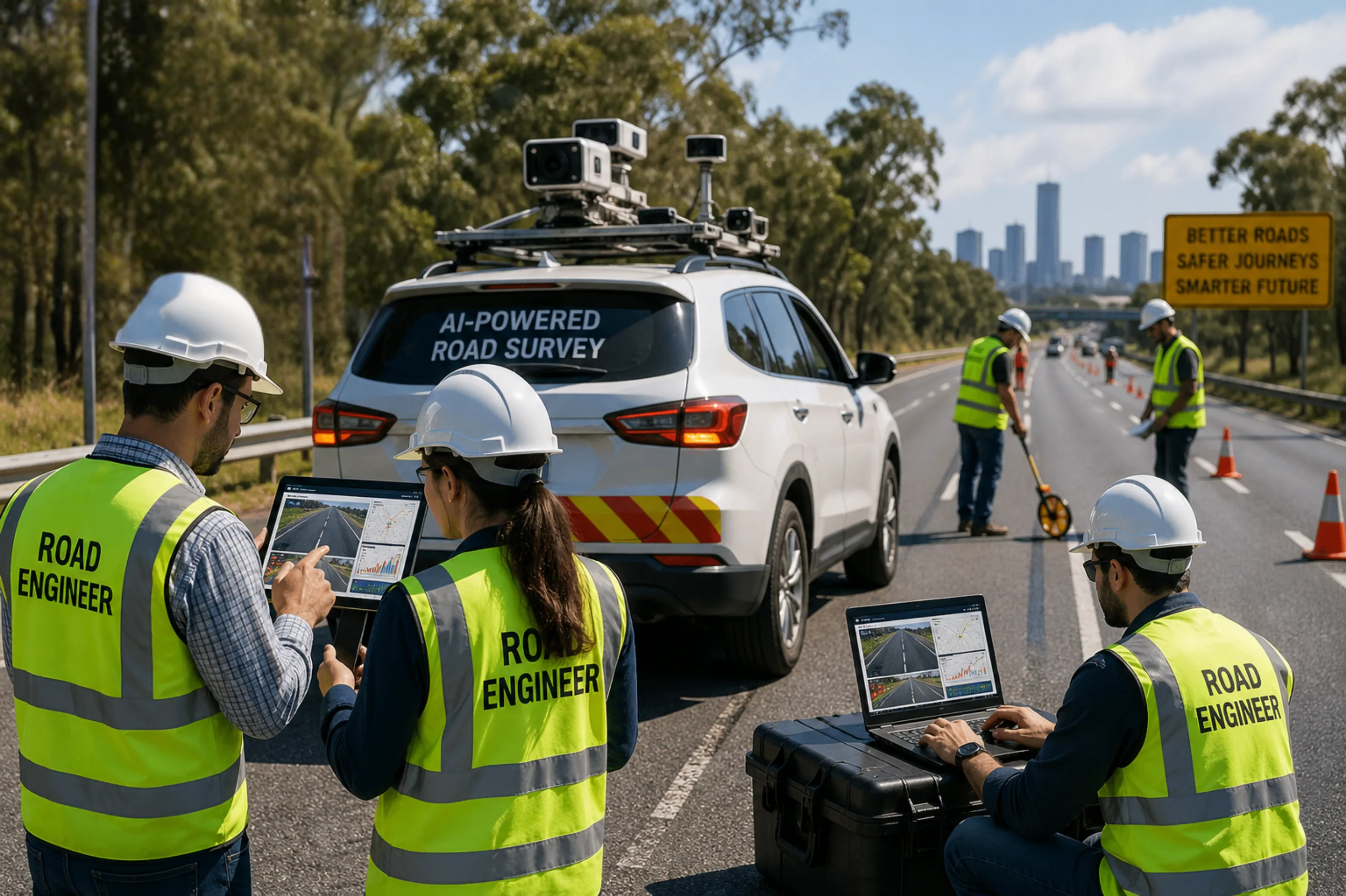
Today, technologies such as AI road design compliance Canada, computer vision road geometry compliance Canada, and smart road infrastructure AI Canada are helping agencies implement TAC standards more efficiently through automated inspections, digital twins, and data-driven infrastructure management.

The Geometric Design Guide for Canadian Roads provides comprehensive guidance on the planning and design of:
The guide establishes consistent design principles that improve safety, operational efficiency, and user experience across Canada's transportation network.
By standardizing roadway geometry, municipalities and transportation agencies can ensure that roads perform consistently regardless of location or jurisdiction.
The GDG plays a critical role in shaping transportation infrastructure across Canada.
Its primary objectives include:
The guide incorporates proven design principles that reduce crash risks and improve safety for all road users.
Modern roadway design must accommodate:
This approach aligns with Complete Streets principles and promotes more inclusive transportation systems.
The GDG creates a common framework for transportation professionals, helping maintain consistency across provinces and municipalities.
The latest guidance incorporates environmental considerations and climate-adaptive design strategies that support long-term infrastructure resilience.
One of the most significant shifts in recent TAC guidance is the emphasis on people-focused transportation planning.
The guide encourages:
This evolution reflects changing transportation patterns and growing demand for active transportation options.
Modern urban road standard AI monitoring Canada solutions help municipalities evaluate whether existing corridors support these multimodal objectives.
The guide recognizes that roadway design must respond to local conditions rather than applying a one-size-fits-all approach.
Key recommendations include:
These principles allow engineers to balance safety, mobility, and urban livability.
The guide modernizes several core design standards, including:
These updates reflect modern vehicle characteristics, evolving driver behavior, and changing urban environments.
As a result, many agencies are adopting AI road geometry assessment tools to evaluate compliance across existing road networks.
Climate adaptation is now a critical component of roadway planning.
The guide supports infrastructure features such as:
These measures help reduce long-term maintenance costs while improving infrastructure resilience.
The complexity of modern road networks makes manual compliance reviews increasingly challenging.
Advanced technologies such as AI road design analysis, AI road survey Canada urban rural, and computer vision road geometry compliance Canada are transforming how agencies assess roadway performance.
AI systems can automatically identify:
This significantly reduces field survey time.
Digital twins create a virtual representation of an entire transportation network.
Benefits include:
Using TAC geometric road design Canada AI solutions, agencies can compare existing roadway conditions against TAC standards and identify:
Modern AI platforms combine geometry analysis with pavement condition data, allowing agencies to:
Many Canadian roads were built decades before Complete Streets concepts became mainstream. Retrofitting these corridors can be technically complex and expensive.
Municipalities must balance roadway upgrades against competing infrastructure priorities.
Many agencies lack comprehensive inventories of:
Traditional road safety audits often require significant time and resources while providing only periodic snapshots of network performance.
These challenges are accelerating adoption of AI road safety survey Canada solutions that provide continuous, network-wide visibility.
RoadVision AI helps municipalities, consultants, and transportation agencies align with TAC roadway design principles through advanced AI-powered infrastructure monitoring.
The platform supports:
Using smart road infrastructure AI Canada, organizations can make faster, more informed decisions while improving safety and reducing operational costs.
The Geometric Design Guide for Canadian Roads remains the foundation of roadway planning and design across Canada. By emphasizing safety, multimodal mobility, context-sensitive design, and climate resilience, the guide supports the development of transportation networks that meet the needs of modern communities.
As road agencies face growing demands for safer and more efficient infrastructure, technologies such as AI road design compliance and AI road geometry monitoring are becoming essential tools for implementing TAC standards at scale.
Combining national design guidance with AI-powered infrastructure intelligence enables municipalities to build safer, smarter, and more sustainable transportation networks for the future.
Ensure TAC-Compliant Road Design with AI-Powered Road Geometry Analysis.
The Geometric Design Guide for Canadian Roads is a national roadway design standard published by the Transportation Association of Canada (TAC). It provides guidance for designing safe, efficient, and sustainable road networks.
The guide promotes multimodal transportation by encouraging infrastructure that supports pedestrians, cyclists, transit users, and motorists through safer and more inclusive roadway designs.
AI can automatically assess road geometry, identify design deficiencies, monitor roadway conditions, and support compliance reviews using computer vision and digital twin technologies.

The Autonomous Road Engineer
AI-powered road condition monitoring, asset management, & infrastructure intelligence helping agencies move from reactive maintenance to predictive road management.
.webp)
.webp)