Doha is one of the world's fastest-growing capitals — a city that has built highways, tunnels, and arterial networks at a pace few cities can match. That ambition is also the scale of the maintenance challenge, requiring AI-powered road intelligence platforms.
Qatar's road network spans thousands of kilometres, and traffic volumes from a booming economy mean even high-quality surfaces show wear faster than traditional inspection cycles can detect it without automated pavement analysis systems.
Manual inspections could not systematically record surface ravelling and minor cracking — the early signals that, if caught, cost a fraction of what full structural repair demands later.
Labour-intensive walkthroughs produced results that varied by inspector, by day, and by route — making year-on-year comparison impossible and budget prioritisation a matter of instinct, not evidence without data-driven road asset analytics.
High-severity defects went undetected until they became visible hazards. By then, the window for low-cost preventive treatment had closed — and emergency repair costs had multiplied.
Doha's roads had outgrown the tools used to monitor them. The network needed a system that could keep pace with the city itself — fast, scalable, and built for the volumes of a modern Gulf capital powered by next-gen infrastructure monitoring systems.

RoadVision AI deployed its pavement condition survey system across a wide area of Doha's road network using off-the-shelf dashcams mounted on regular vehicles — no specialist survey trucks, no lane closures, no disruption.
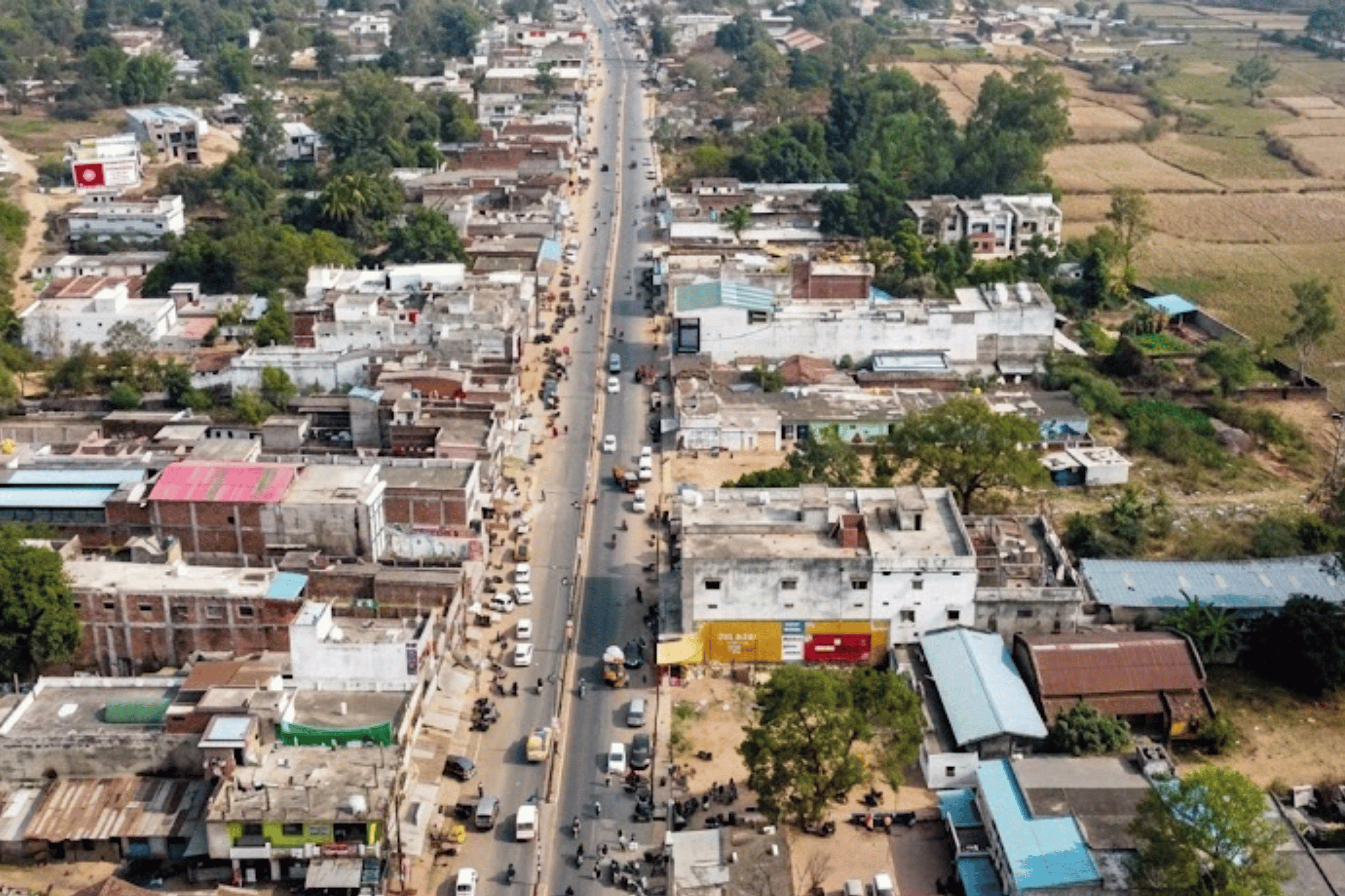
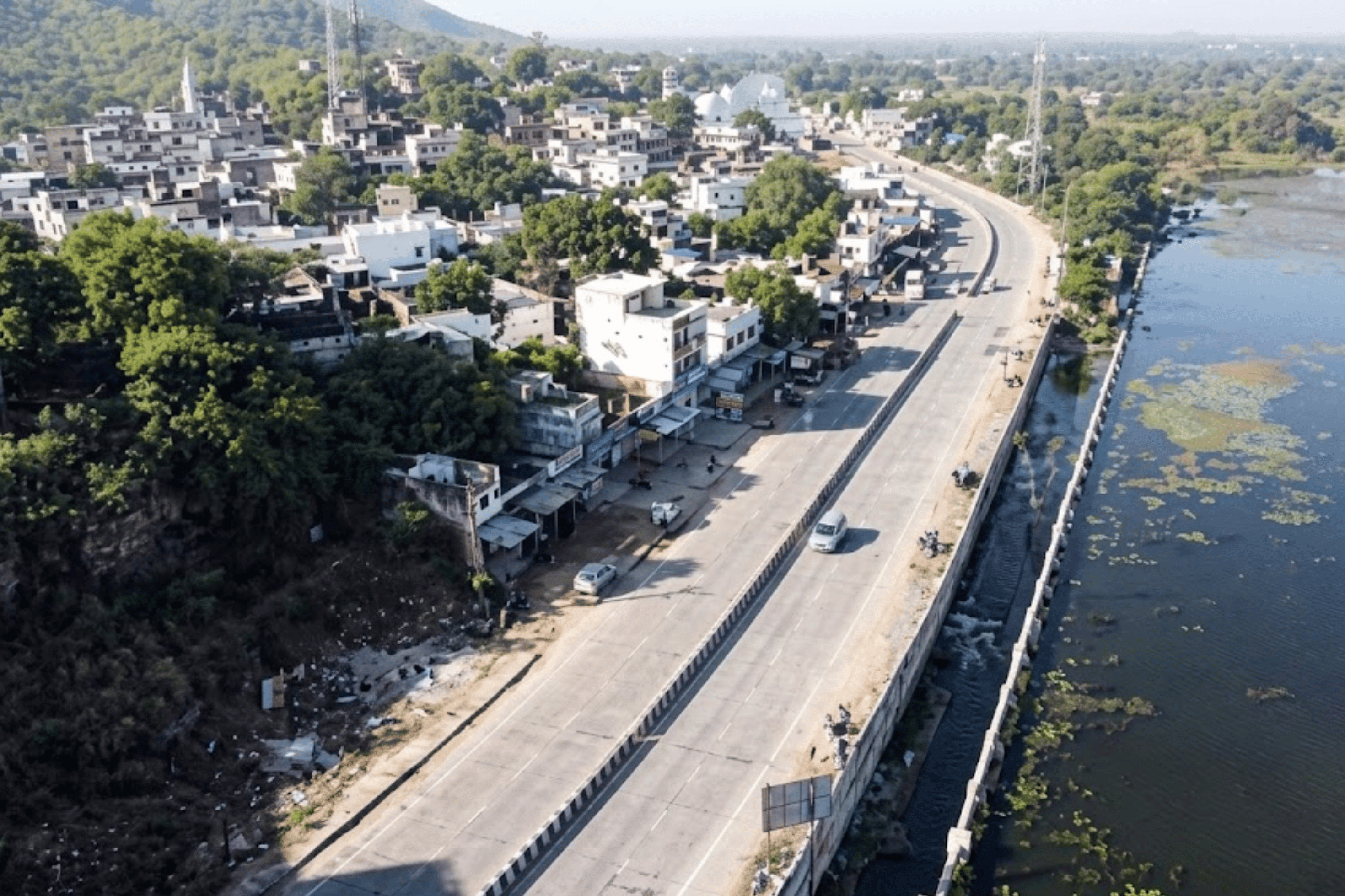
Dashcam-equipped vehicles drove each corridor at normal traffic speed, capturing continuous high-resolution footage of road surface conditions. Coverage spanned key arterial and secondary roads across Doha including Al Rayyan Al Jadeed to Furousiya Street, Al Waab to Fereej Al Soudan, Muraikh to Al Sadd, Al Luqta Street to Khalifa Street, Fereej Al Amir, and multiple Ar-Rayyan corridors — both high-traffic arterials and secondary residential connectors.
No lane closures. No traffic management requirements. No disruption to Doha's arterial movement. The survey vehicles were indistinguishable from regular patrol vehicles on the road. The entire 267.56-kilometre network was covered without the city noticing.
Footage was uploaded to the RoadVision AI cloud platform. Deep learning models trained on global road defect datasets automatically identified, classified, and scored each defect by type and severity — compressing what would typically be weeks of manual analysis into a fraction of that time using AI-powered road intelligence platforms.
Every defect was GPS-pinned to its exact road location and assigned a severity rating — low, medium, or high. The output: 14,466 individually catalogued defects across seven distress categories, each with a precise coordinate, photograph, and classification label ready for asset management integration.
Every metre of every corridor surveyed is preserved as video — both the original dashcam footage and the AI-processed version with detected defects marked in real time. This library is yours, permanently accessible on the platform.

Original dashcam footage from every survey, organised by corridor and date. Every frame GPS-timestamped. Permanently accessible — it never expires.
The same footage with every detected defect highlighted — bounding boxes, classification labels, severity ratings, and GPS coordinates overlaid in real time as you watch.
Compare the same corridor stretch across two survey dates — frame by frame. See how conditions changed, or verify whether a repair was effective.
Every surveyed corridor gets a permanent, structured record in the platform — a Defect Register with GPS-tagged severity scores that forms the backbone of evidence-based maintenance planning across Doha's network.
Each corridor assigned a persistent Road ID in the system. All future surveys automatically map to the same ID — creating a cumulative historical record that survives personnel changes.
• GPS start and end coordinates recorded
• Road classification, length, zone
• Persistent ID across all future surveys
An automated severity score per corridor and per segment — low, medium, or high — based on defect type, extent, and concentration. Removes subjectivity and gives every corridor a defensible, comparable rating.
• Score per corridor and per segment
• Classified as Low / Medium / High
• 7 distress categories detected
Every defect has a GPS-tagged photograph pulled from the survey footage — accessible in the corridor report and linked to its exact location on the GIS map. Downloadable in PDF and Excel.
• Photo per defect with GPS coordinate
• Severity-rated and defect-classified
• PDF download and Excel datasheet

Every defect plotted on a live interactive map. Corridors colour-coded by severity — giving planners an instant visual picture of where to focus across all 267.56 kilometres, without reading a single spreadsheet.


From the exact GPS location of a single defect to the health score of Doha's entire surveyed network — structured intelligence at four levels, each designed for a different decision-maker.

14,466 defects logged with GPS coordinates, photograph, defect type, and severity rating. Used for generating precise contractor work orders and field repair instructions.
> 7 Distress categories detected
> 3 Severity levels per defect
Every surveyed corridor divided into segments, each with its own severity breakdown and defect count. Identifies exactly which portion of a corridor is failing so repair is targeted precisely, not applied to the full length.
> HIGH
> MEDIUM
> LOW
Comprehensive report per corridor — overall condition score, total defect count by type and severity, GPS-tagged photo documentation, and recommended remedial action. Downloadable as PDF and Excel.
> PDF Download | Excel Datasheet
The network dashboard shows the health of the entire 267.56-kilometre system at once — severity distribution across all corridors, where to concentrate the maintenance budget for maximum impact.
> 61% Low Severity
Preventive window still open
> 28% Medium Severity
Monitor closely
> 11% High Severity
Act now — urgent intervention
The foundation for evidence-based annual maintenance planning.
Conduct a second survey after repairs — or on a scheduled cadence — and the platform automatically generates a change detection report showing exactly what improved, what deteriorated, and by how much.
The Baseline: Every Corridor's Condition Before Work Begins
The baseline survey captures each corridor in its current state — a GPS-verified, timestamped record of every defect with severity classification per segment, before a single repair is made. This is what contractors are accountable to.
After Contractor Work — Independent Measurement
The follow-up survey independently measures the same corridors after intervention. The platform computes the exact severity delta per segment — making it impossible to sign off on substandard repairs without a verifiable data trail.
Work orders issued against specific defect IDs with GPS coordinates. Post-repair surveys verify completion against the exact same locations — not a general impression of the corridor.
Good corridors today will not stay good forever. The temporal database flags segments whose severity is worsening between surveys, enabling preventive treatment before structural failure sets in.
Conduct surveys pre- and post-peak season to quantify exactly how much damage high-traffic periods cause — and where. This data directly informs the annual maintenance budget.
The data alone changes how decisions are made — within the same budget, the same team, the same city.
GPS-tagged severity data is an objective basis for maintenance budget requests — far more persuasive than field observations when presenting to finance departments or government bodies.
Engineers generate repair work orders directly from the defect list — with GPS coordinates, defect types, severity, and priority ranking already computed by the AI. No guesswork, no manual preparation.
Pre- and post-repair surveys make contractor accountability automatic. A corridor that does not improve measurably cannot be signed off — the timestamped data trail is permanent and irrefutable.
The Road ID system means every survey builds on the last. When personnel change, the full history of every corridor remains in the platform — every severity score, every repair, every deterioration event.
As the temporal database accumulates, the platform identifies deterioration curves — flagging corridors heading toward failure before they fail. Preventive treatment costs a fraction of emergency reconstruction.
6. A Replicable Gulf Blueprint
Doha's deployment establishes a model that scales to any Gulf city — fast-growing network, high traffic volumes, world-class infrastructure standards. The methodology and platform are consistent regardless of network size.

The Doha deployment is significant for two reasons beyond its immediate scale — and both point toward a future that extends well beyond a single capital.
Doha's challenge — a fast-growing network, high traffic volumes, and the impossibility of keeping pace through manual inspection — is the challenge of every rapidly urbanising city in the GCC. A dashcam-based, AI-processed, asset-management-integrated inspection system that covers 267 kilometres without stopping traffic once is a model every one of those cities can adopt.
The methodology is consistent. The platform is replicable. The outputs — GPS-tagged defect inventory, severity classification, GIS dashboard, before/after comparison — are the same whether the network is 50 kilometres or 5,000. What Doha validated at world-class scale, every Gulf city can deploy at its own.
Doha didn't just get its roads inspected. It demonstrated that AI-powered road asset management is ready for the demands of a world-class city — and scalable to every network like it.
Q1. How does this system perform in Qatar’s extreme heat and climate conditions?
The system is designed for high-temperature, high-glare environments typical of Qatar. It accurately detects early-stage damage caused by heat stress — like surface cracking and ravelling — which are common in Gulf road networks.
Q2. Will this work on high-speed highways and major arterial roads in Doha?
Yes. Data is captured at normal driving speeds, making it fully suitable for high-speed corridors, expressways, and major arterials without requiring traffic disruption or speed restrictions.
Q3. Can this handle the scale of Qatar’s rapidly expanding road network?
That’s exactly what it’s built for. As road networks expand quickly, traditional inspection cycles fall behind. This system scales effortlessly — enabling city-wide or national-level coverage without increasing operational complexity.
Q4. How does this support government authorities and large contractors?
It provides a single source of truth — with GPS-tagged defects, severity ratings, and visual evidence. This helps authorities prioritize budgets, while also ensuring clear accountability for contractors through measurable before-and-after comparisons.
Q5. Is the data compatible with existing GIS and asset management systems used in the region?
Yes. The outputs are designed to integrate with standard GIS platforms and asset management systems, making it easy to plug into existing workflows used by municipalities and infrastructure authorities in Qatar.
Q6. How does this help maintain world-class road standards in Doha?
Doha’s infrastructure is built to a high standard — but maintaining it requires catching issues early. This system enables a shift from reactive fixes to proactive, preventive maintenance, ensuring roads remain at world-class quality as traffic and usage grow.
From survey design to live GIS platform — RoadVision AI delivers the full system, not just a report.

The Autonomous Road Engineer
AI that is transforming road infrastructure, from reactive to predictive.
%20(1).png)