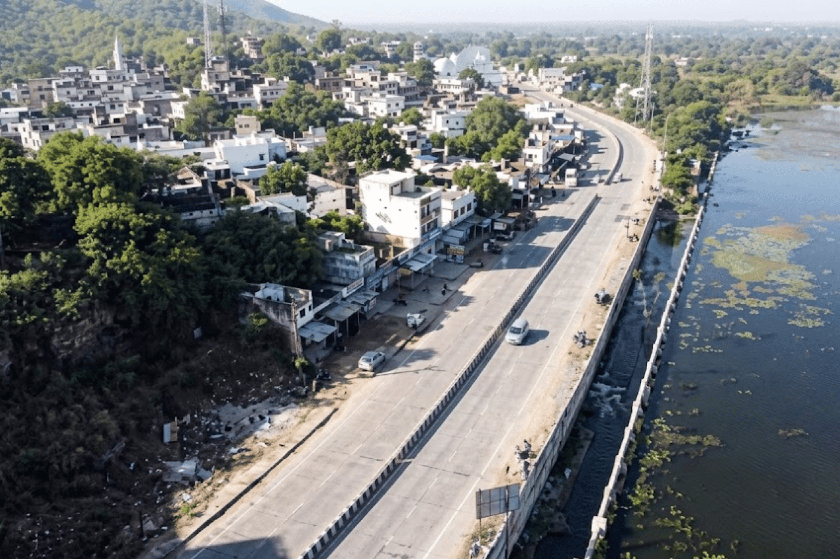
Surajpur is one of Chhattisgarh's newer districts — carved from Surguja in 2012 and still building the institutional infrastructure that older districts take for granted. Its road network spans rural connectivity routes, small-town arterials, and state highway links that are critical to agricultural movement and daily commute. Yet like most of India's district road networks, Surajpur's roads were maintained without a shared, objective measurement system. The absence of a road asset management system meant that every maintenance decision depended on field memory, ward complaints, and engineer intuition — not data.
The district administration faced a challenge familiar across India's Tier 3 and Tier 4 districts: roads were deteriorating in ways that were politically visible but technically unquantified. Potholes were reported; ravelling was not. Structural rutting was unknown until it caused vehicle damage. Without automated pavement distress detection, the maintenance register remained a reactive document — recording what had already failed, never anticipating what was about to.
The survey requirement was clear: cover all 119 roads, generate an objective condition baseline, and produce output structured enough for contract management, budget justification, and government audit — all at a cost and pace that a district administration could absorb.
With 119 roads and no standardised rating methodology, Surajpur had no way to compare corridor conditions, prioritise maintenance sequences, or present a defensible maintenance budget to the state PWD. Every allocation decision was effectively subjective.
Initial survey data revealed that a significant portion of the network carried IRC ratings below 50 — classified as Poor — indicating widespread pavement failure requiring urgent structural intervention, not just surface patching.
Field observations existed in paper registers with no geospatial reference. Contractors received verbal or sketch-based site descriptions. There was no mechanism to verify that repair work was performed at the correct chainage or that the right defect type was addressed.
Without a persistent digital record, each survey cycle started from scratch. Deterioration rates were unknown, maintenance effectiveness was unmeasurable, and seasonal damage patterns — critical in a monsoon-affected district like Surajpur — were invisible to planners.
“A district with 119 roads and no condition baseline doesn't have a maintenance problem — it has a governance problem. You cannot manage what you cannot measure, and you cannot measure what you haven't surveyed.”

RoadVision AI deployed its AI pavement inspection platform across Surajpur district's full road network — conducting mobile data collection across all 119 roads with continuous dashcam footage capture and real-time GPS logging. The deployment covered roads ranging from 0.21 KM collector routes to 3.19 KM state-linked arterials, with every corridor assessed through the same AI road condition analysis pipeline to ensure consistent, comparable outputs across the network regardless of road category or surface condition.
Survey teams deployed the RoadVision AI smartphone application across every road in Surajpur's designated network. Vehicles drove at normal traffic speed capturing continuous visual data and GPS tracks — no specialist equipment, no lane closures, no traffic disruption. The district-wide collection was completed in a fraction of the time a manual survey team would require for the same scope.
All captured footage was processed through RoadVision AI's computer vision engine, detecting and classifying defects across seven categories: Potholes, Patching, Cracking, Ravelling, Rut Depth, Settlements, and Shoving — at three severity levels (Low, Medium, High). The 0.9 KM lead road alone yielded 286 classified defects, demonstrating the density of findings that AI detection surfaces compared to manual observation.
Every road was divided into 10-metre analysis segments, each anchored with start and end GPS coordinates from real survey data. The Road Analysis table records precise lat/long references for every chainage segment — enabling contractors to navigate to the exact defect location and engineers to verify intervention at the correct road section.
Each road received an IRC-aligned condition rating computed from the AI-detected defect profile. The lead road (497235) scored 37.67 — IRC Level 3 (Poor) — with severity analysis showing 56.8% medium severity, 31.9% high severity, and 7.7% low severity defects. Roads in the Fair band (47–60) were also identified for preventive treatment prioritisation.
All survey outputs were integrated into the RoadVision AI live platform — providing a searchable Road List with condition ratings, one-click report access, full PDF and Excel downloads, and a map-based spatial view. The platform's paginated road register (119 roads across 12 pages) gives district engineers instant access to every corridor's condition status with no specialist GIS training required.
The four screenshots below show the RoadVision AI platform as deployed for Surajpur district — from the district-wide road register to the chainage-level defect breakdown of individual corridors. This is the interface that engineers, administrators, and contract managers access in real time through the digital safety audit platform.

The Road List is the district-level command view — 119 roads, every one rated, every one accessible with a single click. The paginated register makes it immediately clear which corridors are in the worst condition. The two Poor-rated roads on page 1 (37.67 and 0 rating) are flagged in red, enabling engineers to triage the network at a glance. This is a digital pavement condition monitoring system at operational scale — not a one-time report but a live, always-current district register.

The defect detail view delivers the granular intelligence that contract management requires. For road 497235, Ravelling dominates the defect profile (263 of 286 defects) — indicating widespread surface wearing that, if untreated, will progress to structural failure. The severity breakdown confirms urgency: 31.9% of defects are already at high severity. The chainage distribution chart shows defect concentration between the 0–10m, 40–50m, and 70–80m segments — enabling targeted intervention rather than full-road resurfacing. This level of precision is only possible through automated pavement distress detection, not manual survey.

The Road Analysis table is what separates a pavement analysis software output from a traditional audit report. Every 10-metre segment of the road is listed with its precise start and end GPS coordinates — extracted directly from the survey vehicle's GPS track. Contractors receive not a verbal description of the defect location but an exact coordinate pair they can navigate to with a smartphone. The IRC rating of 37.67 (Poor) is confirmed at every segment, demonstrating consistent failure across the full corridor length rather than isolated problem points.
The Surajpur deployment produced the district's first objective, data-driven picture of its road network condition. The findings confirmed what the administration suspected but could not prove: a significant portion of the network is in poor condition, dominated by ravelling and structural defects that manual inspection registers had never captured in structured form. The depth of insight delivered by AI road condition analysis goes far beyond what any field survey team could produce at district scale.
“Ravelling doesn't announce itself. It begins as surface texture loss — invisible to the untrained eye, invisible in complaint registers — and ends as pothole formation and base failure. In Surajpur, the AI found 263 instances of it on a single 0.9 KM road. Manual inspection had found none.”

RoadVision AI's AI based pavement condition monitoring system delivers five structured outputs for Surajpur district — each serving a different user, a different decision, and a different layer of road governance. Together they constitute a complete digital safety audit platform for the district, not a one-time report.
The operational command view for district engineers and administrators
The structured defect inventory that makes contractor accountability possible

The standards-referenced scoring that makes budgets defensible and audits possible
The analytical layer that transforms raw counts into maintenance intelligence

Timestamped visual proof for every defect finding across the district network

Surajpur's deployment demonstrates what smart city road safety solution technology delivers when applied not to a single corridor but to an entire district road network. The outcomes extend beyond the 119 roads surveyed — they represent a transformation in how Surajpur's district administration can manage, account for, and improve its infrastructure.
IRC-rated road conditions are an objective basis for maintenance budget submissions. A district that can show 37.67 (Poor) on a key corridor has a defensible claim for emergency maintenance funding — far more persuasive than field observations or complaint records.
The chainage-level defect map tells contractors exactly where to work — not 'on road 497235' but at the 0–10m, 40–50m, and 70–80m segments where defect concentration is highest. Maintenance budgets stretch further when they target the right metres, not the whole road.
Pre-survey GPS baselines and post-repair re-surveys create an objective accountability mechanism that contractors cannot dispute. A road rated 37.67 before repair must show measurable IRC improvement after. The data trail is permanent.
Every surveyed road is registered in the platform. When engineers transfer or retire, the complete condition history of every road in Surajpur remains accessible — not in someone's notebook, but in a searchable, permanent digital register.
Ravelling detected at Low and Medium severity today will progress to High severity and structural failure after one monsoon season. The AI condition baseline enables Surajpur to intervene on Fair-rated roads before they become Poor — the most cost-effective maintenance strategy available.
Surajpur's deployment demonstrates a complete district road management model that Chhattisgarh can replicate across its 33 districts. The methodology, platform, and IRC-aligned outputs are consistent at any network scale — making state-level road governance reform a practical, not theoretical, ambition.
“Surajpur didn't just get a survey report. It got the institutional infrastructure to manage its roads with the same rigour it manages its finances — objective, auditable, and evidence-based.”
Field data collection across 119 roads was completed using RoadVision AI's smartphone-based platform at normal driving speed — no lane closures, specialist vehicles, or traffic management required. The full district network can be surveyed within days, not weeks. AI processing of collected footage is completed within hours. A formal IRC-rated report with all five deliverables is typically ready within 4–6 weeks of data collection completion — fast enough to feed into the district's annual maintenance planning cycle.
An IRC Level 3 (Poor) rating — as found on Surajpur's lead survey road — indicates that the pavement has deteriorated beyond the preventive treatment window. Surface patching will not restore the road to an acceptable condition; structural rehabilitation is required. In practical terms, a Poor-rated road should be programmed for priority intervention in the next maintenance budget cycle. Continued deferral accelerates base failure, which ultimately requires full reconstruction at 5–10x the cost of timely structural repair. The IRC rating converts a subjective 'this road is bad' observation into a standards-referenced condition category that budget committees and audit bodies can act on.
Traditional work orders direct contractors to a road. RoadVision AI's chainage-level output directs them to a 10-metre segment with precise GPS coordinates. For road 497235 in Surajpur, contractors can navigate to the exact start and end coordinates of every defect segment — eliminating the ambiguity that allows sub-standard repair work to go undetected. Post-repair re-surveys verify that work was performed at the correct chainage and that the IRC condition rating improved. This closes the accountability loop that has historically been open in India's district road maintenance system.
Yes. Roads with zero-length entries (as visible in Surajpur's register) indicate surveys that were initiated but not completed, or entry records created ahead of field data collection. The platform flags these for follow-up surveying. The road register remains live — incomplete surveys are tracked and can be completed in a subsequent mobilisation without creating a new project. This ensures the 119-road baseline remains complete and that no corridor is lost from the district's condition tracking system.
RoadVision AI's computer vision engine is trained on large-scale datasets of Indian road surfaces across all pavement types, surface conditions, and defect categories. For Surajpur's lead road, the AI distinguished between 263 instances of Ravelling (surface aggregate loss), 11 Potholes, 7 Shoving events, 4 Cracking instances, and 1 Rut Depth occurrence — each at its specific severity level. The severity classification (Low, Medium, High) is determined by defect area, depth indicators, and pattern characteristics detected in the video imagery. This granularity is the core advantage of automated pavement distress detection over manual inspection: a trained engineer can identify a pothole; an AI system can classify 286 distinct defect events on a 0.9 KM road in minutes.
Yes — and this is one of the most significant governance applications of the platform. Because every road in the RoadVision system carries an IRC-aligned rating, data from Surajpur can be aggregated with data from other surveyed districts to produce a state-level condition picture. The methodology is consistent across all deployments, meaning that Surajpur's road ratings are directly comparable to ratings from any other district using the same platform. This enables the Chhattisgarh state government to produce evidence-based road condition reports for the state legislature, prioritise inter-district capital allocation, and demonstrate maintenance effectiveness over time — capabilities that no manual survey methodology can provide at state scale.
Every district in India has a Surajpur. Most don't know what's on their roads.
RoadVision AI delivers the complete AI pavement inspection system — from mobile data collection to live district road register, IRC-rated condition reports, and governance-ready audit outputs. Contact us to design a district survey for your network.

The Autonomous Road Engineer
AI that is transforming road infrastructure, from reactive to predictive.
%20(1).png)