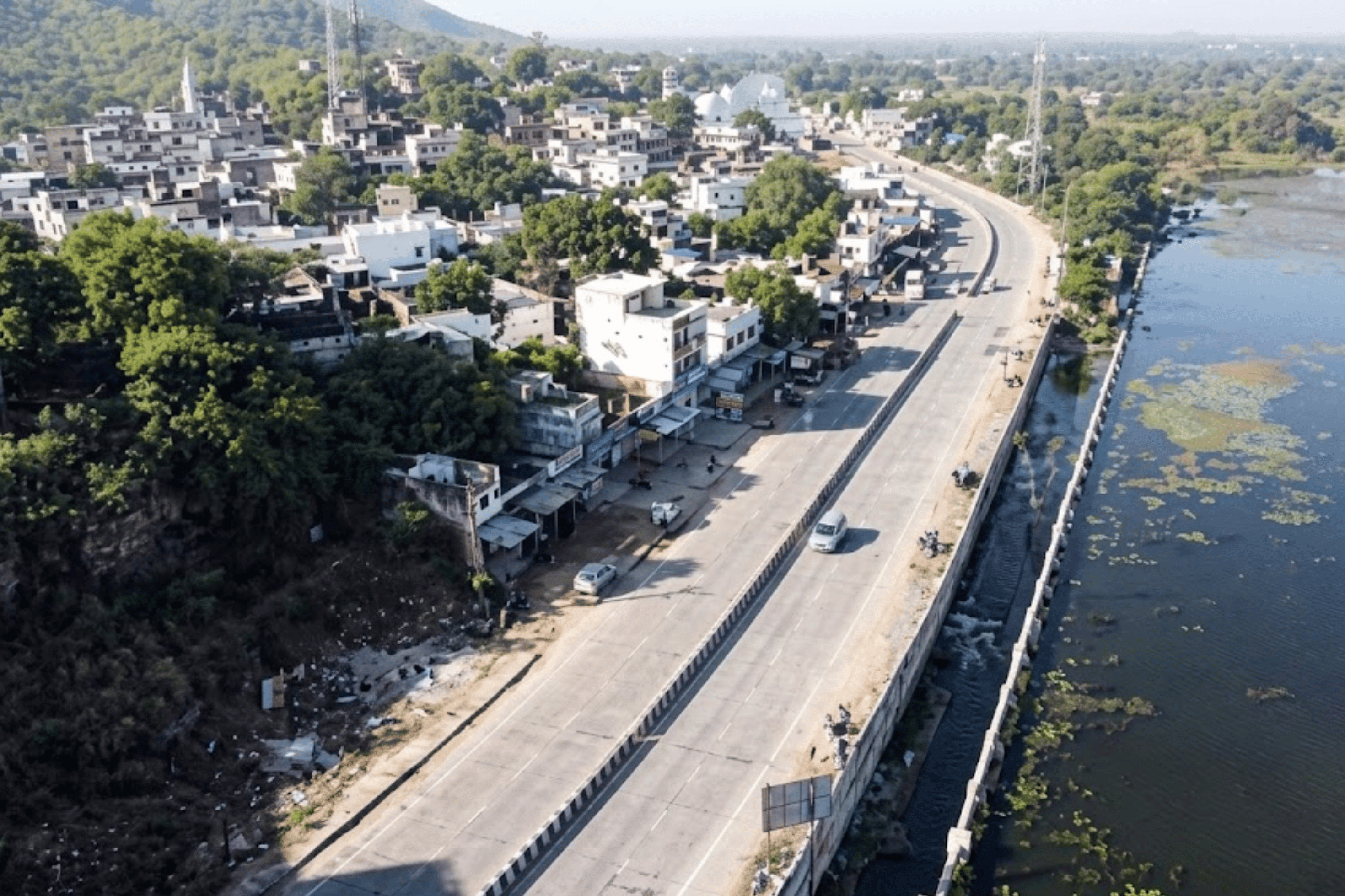
Raipur is Chhattisgarh's capital and its fastest-growing urban centre — a city whose road network must keep pace with rapid population growth, commercial expansion, and surging infrastructure demand. The Raipur Municipal Corporation (RMC) is responsible for maintaining this network, but the tools it relied on were never built for a city moving at this speed.
Manual road inspections were the norm: field engineers conducting visual surveys, logging defects by hand, producing reports that varied by inspector and offered no reliable baseline for year-on-year comparison. Collecting and managing data across the full network was resource-intensive, chronically incomplete, and structurally incapable of producing the kind of evidence that drives sound infrastructure governance.
Without a consistent, repeatable condition score, it is impossible to track whether roads are improving or deteriorating — or to compare one corridor against another when prioritising scarce maintenance budget. Every inspection produced a different result.
Without a pre-repair condition record, contractors could deliver minimum visible compliance. There was no objective mechanism to verify whether repair work actually improved road quality — or to withhold payment when it did not.
Maintenance spend tracked complaint volume rather than road condition severity. High-deterioration corridors receiving few complaints went underfunded. Visibly damaged roads near politically active areas received disproportionate attention.
Inspection records lived in individual field engineers' notebooks and memories. When personnel transferred or retired, the city lost its institutional history of road condition — forcing every new team to start from scratch.
"Traditional inspections were time-consuming, prone to subjectivity, and always one step behind the network's actual condition. The city needed to stop reacting and start reading."

RMC partnered with RoadVision AI to conduct a pilot covering 57.04 kilometres of Raipur's road network. Before fieldwork began, RoadVision AI ran intensive training workshops for RMC engineers — ensuring the teams responsible for acting on the data were fully equipped to collect it. That investment in ground-level capability set this deployment apart from a standard vendor engagement.
RMC engineers used the RoadVision AI mobile application to capture images and video of road conditions across the pilot area. Fitted with a suction windshield mount, the smartphone-based setup required no specialist vehicles or equipment. Engineers drove their regular routes and collected comprehensive visual and GPS data as part of normal operations — minimising disruption and maximising coverage. This pavement analysis software model enabled rapid deployment without procurement delays or special mobilisation.
Collected data was processed through RoadVision AI's intelligence platform — an automated pavement distress detection engine trained on multi-year, multi-geography Indian road data. The system automatically identified and classified distress types: ravelling, cracking, potholes, settlements, rutting, and shoving — all in line with IRC guidelines. Every segment received a condition score. Every defect was geotagged. The subjectivity of manual assessment was replaced with a consistent, repeatable standard across all 57 kilometres.

The processed data was delivered as a comprehensive road inspection report — defects categorised by type and severity, segment-level IRC scores, and exportable formats compatible with RMC's existing road asset management system. A web-based GIS platform provided a live visual layer of the entire assessed network, colour-coded by condition, accessible to planners and engineers in real time.
The RoadVision AI engagement did not deliver a report and sign off. It delivered five structured, actionable outputs that collectively gave RMC a complete infrastructure intelligence system — built on AI road condition analysis and designed to serve every layer of the organisation, from field engineers to elected decision-makers.
Every metre of every road surveyed is preserved as dual-format video: the original dashcam footage and the AI pavement inspection version with detected defects marked in real time. Bounding boxes, classification labels, severity ratings, and GPS coordinates overlay as you watch — creating an irrefutable visual record of road condition at the moment of survey.
The pavement analysis software computed an IRC Pavement Condition Index (PCI) score — from 0 (complete failure) to 100 (perfect) — for every road and every 100-metre chainage segment. This is the backbone of evidence-based maintenance planning: a standardised, defensible, comparable rating that removes subjectivity from every budget conversation.
The entire surveyed network is published to a live, web-based GIS platform — colour-coded by condition rating, filterable by defect type, and accessible to all authorised department personnel in real time. This road asset management system layer eliminates the information gap between field data collection and administrative decision-making.

The automated pavement distress detection engine produces structured analytics at four levels of resolution — enabling RMC to answer questions that were previously impossible: Which corridors need immediate intervention? Which defect types are systemic? Where is deterioration accelerating?
The final and highest-governance deliverable: structured pre/post comparison reports that make contractor accountability automatic. By conducting surveys before and after any repair intervention, RMC now has a timestamped, GPS-verified condition baseline and an independent condition measurement after — creating the kind of structural accountability layer that smart city road safety solutions require.
The Raipur pilot did more than produce a report. It changed how RMC thinks about road management — shifting the organisation from a reactive posture to one grounded in data, repeatability, and proactive planning. The pilot's success was clear enough that it triggered the decision to deploy RoadVision AI across Raipur's full road network.
"The shift to AI-driven road management has resulted in significant time and cost savings for RMC — and set a precedent for how Chhattisgarh's other cities can approach the same challenge."
IRC-rated PCI scores from the AI road condition analysis provide an objective basis for maintenance budget requests — far more persuasive than field observations when presenting to elected bodies or state finance departments.
Engineers generate repair work orders directly from the AI pavement inspection defect list — with GPS coordinates, defect types, severity, and priority ranking already computed. No guesswork, no manual preparation.
Pre- and post-repair surveys make contractor accountability automatic. A road that does not improve measurably cannot be signed off — the timestamped data trail from the digital safety audit platform is permanent and irrefutable.
The Road ID system means every survey builds on the last. When personnel change, the full condition history of every road remains in the platform — accessible to the next generation of engineers.
As the temporal database accumulates, the AI-based pavement condition monitoring system identifies deterioration curves — flagging roads heading toward failure before they fail. Preventive treatment costs a fraction of emergency reconstruction.
Raipur demonstrates that AI road condition analysis is not a premium solution reserved for metros. It is a scalable system that works with off-the-shelf smartphones and delivers IRC-standardised outputs any municipal corporation can act on.
Most conversation about smart infrastructure in India centres on megacities. Raipur matters precisely because it is not one. It is a Tier-2 capital city with real infrastructure pressure, a motivated municipal corporation, and the same data problem that thousands of Indian urban bodies face — but without the resources of Mumbai or Delhi.
The RoadVision AI deployment demonstrates that AI road condition analysis is not a premium solution requiring specialist vehicles, large budgets, or external expertise. It is a scalable system that trains existing engineering teams, works with off-the-shelf smartphones, and delivers automated pavement distress detection outputs to a level of precision that was previously achievable only by national highway agencies.
RMC now has a verified condition baseline, a live GIS layer of its road network, and a repeatable survey methodology it can deploy at any interval — monthly, quarterly, post-monsoon. That is the foundation for genuine infrastructure governance. The smart city road safety solution model Raipur built is one that every growing Indian city can replicate — not in years, but in weeks.
"Raipur didn't just improve its roads. It built the institutional capability to keep improving them — year after year, at scale."
Field data collection for 57 KM of urban roads takes 3–4 days using smartphone-equipped vehicles driven at normal traffic speed — no lane closures, no specialist vehicles, no disruption to public movement. AI processing of the complete footage takes approximately 2 hours after upload. A full formal report with IRC PCI scores and GIS outputs is typically delivered within 4–6 weeks of data collection completion.
Manual inspection reliability depends entirely on individual engineers — their training, their consistency, their availability. An AI-based pavement condition monitoring system applies the same detection logic to every frame of footage, at every location, every time. It does not get fatigued. It does not estimate. It classifies defects by type, severity, and extent using the same parameters as IRC guidelines, producing scores that are directly comparable across roads, across survey rounds, and across years.
This is one of the highest-value applications for Municipal Corporations. By running surveys before and after any maintenance contract, departments receive a timestamped, GPS-verified baseline and an independent condition measurement post-repair. The road asset management system creates a structural accountability trail that is objective, permanent, and legally defensible — making quality-based payment certification possible for the first time.
The system classifies 35 parameters across five categories: pavement defects (potholes, cracking, rutting, ravelling, settlements, shoving), kerb and median condition, drainage structure health, road safety features (signage, markings, crash barriers, road studs), and governance issues (encroachments, unauthorised structures, cleanliness). All parameters are captured in a single survey pass — one vehicle, one drive, complete intelligence.
Pricing depends on network size, survey cadence, and output requirements. RoadVision AI offers both one-time deployment for condition baselining and ongoing monitoring subscriptions for regular assessment cycles. The Raipur pilot demonstrated that the total cost of deployment is significantly lower than the annual expenditure wasted on reactive repairs to roads that had no evidence-based maintenance baseline. Contact roadvision.ai/book-demo for a proposal based on your network.
Yes. All outputs are delivered in PDF and Excel formats compatible with standard municipal asset management workflows. The live GIS platform is web-based and accessible without specialist software. For municipalities with existing digital safety audit platforms or smart city infrastructure, RoadVision AI can discuss data export formats and API integration. The platform is designed to augment existing systems, not replace them.
From survey design to live GIS platform — RoadVision AI delivers the full AI road condition analysis system, not just a report. Every Indian municipal corporation, PWD department, and NHAI zone deserves the same evidence-based infrastructure governance that Bhilwara, Raipur, and cities across India are already building.

The Autonomous Road Engineer
AI that is transforming road infrastructure, from reactive to predictive.
%20(1).png)