
The National Highways Authority of India (NHAI) oversees one of the largest national highway networks in the world, and AI-powered inspection technology is increasingly being used to support that oversight at scale. AI applications span the full project lifecycle from automated pavement condition surveys using vehicle-mounted cameras and computer vision, to drone-based monitoring during construction, to AI-assisted verification supporting Independent Engineer certification on concession projects. The core value is consistency and coverage: AI-based inspection can assess far more highway network, far more frequently, and with more objective, standardized measurement than manual inspection teams can achieve across a network of NHAI's scale.
A note on accuracy: NHAI's specific policies, technical circulars, and current inspection mandates are periodically updated by the authority. This guide covers the general role AI plays in supporting highway inspection practice rather than citing specific current NHAI requirements for authoritative, up-to-date information on NHAI's official inspection standards or technology mandates, refer directly to NHAI's published circulars and official communications.
NHAI is responsible for developing, maintaining, and managing a vast national highway network spanning thousands of kilometers across enormously varied terrain dense urban corridors, agricultural plains, hilly and forested regions, and stretches exposed to monsoon flooding, extreme heat, and everything in between. Overseeing pavement condition, construction quality, and concession compliance across a network this large, using only traditional ground-based manual inspection, creates real structural limitations:
Inspection teams simply cannot physically cover the full network frequently enough to catch deterioration early. Manual visual assessment introduces inconsistency between different inspectors and different regions. Highway projects under concession arrangements require ongoing, defensible performance verification that manual fieldwork alone struggles to deliver quickly and consistently. And with new highway construction and upgrades continuing at significant scale, the volume of both new and existing infrastructure requiring oversight keeps growing faster than manual inspection capacity can realistically expand.
This is the backdrop against which AI-powered inspection technology has become increasingly relevant to how NHAI and its associated agencies, contractors, and Independent Engineers approach highway oversight.
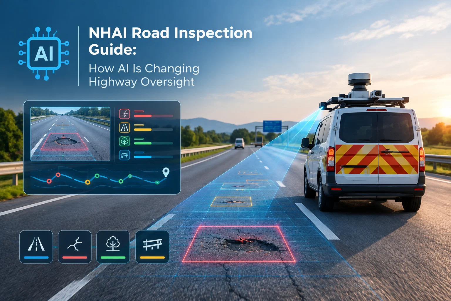
AI-powered computer vision, applied to imagery captured from vehicle-mounted cameras, can automatically detect and classify pavement defects cracking, rutting, potholes, raveling across extensive stretches of highway far faster than manual survey teams. This supports the kind of broad, consistent network-level assessment that's essential for prioritizing maintenance across such a large system.
During active construction or upgrade projects, AI-assisted analysis of drone or vehicle-captured imagery helps verify construction progress against planned timelines and can flag visible quality issues or deviations from approved designs, supporting more efficient project oversight than manual site visits alone.
On concession projects BOT, HAM, TOT, and similar arrangements Independent Engineers rely on consistent, defensible condition data to certify compliance with contractual maintenance obligations. AI-powered monitoring can supply much of that underlying data automatically, reducing the manual fieldwork burden while producing more consistent, timestamped, and auditable records than periodic manual surveys alone.
Before construction begins, AI-assisted analysis of drone-captured terrain and topographic data can support faster, more accurate Detailed Project Report preparation, helping finalize alignment and design decisions across long corridors more efficiently than traditional ground survey methods alone.
Given how much of NHAI's network is exposed to monsoon rainfall and, in certain stretches, flooding or landslide risk, AI-powered rapid road damane assessment using satellite, drone, or vehicle-based imagery can help quickly evaluate damage and prioritize repair after severe weather events, well before manual survey teams could complete a comparable assessment.
AI-based detection, combined with geospatial reference data, can help identify encroachment along the highway right-of-way, supporting enforcement efforts that have historically been difficult to monitor systematically across such an extensive network.
The underlying technical process is broadly consistent regardless of which specific application it's supporting:
Cameras and sensors mounted on dedicated survey vehicles, drones, or increasingly on vehicles already traveling the network capture continuous imagery as they move along the highway. Computer vision models, typically built on convolutional neural network or object detection architectures, process this imagery to identify and classify visible defects or conditions of interest. Detected findings are geotagged with precise location data and, where relevant, cross-referenced against known infrastructure locations, design specifications, or right-of-way boundaries. Results are compiled into structured, exportable data that feeds into reporting dashboards, GIS systems, or directly into project management and maintenance planning workflows.
Where sensor fusion is used combining visual detection with vibration, LiDAR, or other sensor data confidence in findings improves further, since a physical measurement can help confirm what the camera has visually identified.
Speed is often the headline benefit discussed with AI-powered inspection, but for a network the scale of NHAI's, consistency may matter just as much. Manual visual inspection, however well-trained the individual inspectors, inevitably introduces variability different people, applying broadly similar but not identical judgment, across different regions and over different time periods. That variability makes it genuinely harder to compare conditions across different stretches of highway, or to track deterioration trends confidently over multiple years.
AI-based detection applies the same classification criteria every time, regardless of which stretch of highway is being assessed or when the assessment occurs. This consistency is what makes AI-generated data particularly valuable for network-wide prioritization, for defensible concession compliance verification, and for building genuinely reliable long-term deterioration trend data something that's much harder to achieve when data quality depends on which inspector happened to conduct a particular survey.
Agencies, contractors, and Independent Engineers looking to incorporate AI-powered inspection into NHAI-related project work should keep a few things in mind:
AI-generated data should generally be positioned as supporting, not replacing, established inspection and certification requirements the goal is strengthening the evidence base behind decisions, not bypassing existing regulatory processes. Where AI-based measurement is used to support formal certification or compliance documentation, it's worth confirming how that data aligns with recognized measurement methodologies and whether specific contractual or regulatory recognition is needed. Given the scale and climate diversity of NHAI's network from arid regions to heavy monsoon zones to hilly terrain any AI model being relied upon should be validated specifically against Indian highway conditions rather than assumed to perform identically based on international training data alone. And because concession and compliance decisions can carry real financial consequences, maintaining appropriate human engineering oversight alongside AI-generated findings remains important, particularly for structural or ambiguous cases.
For NHAI and project authorities, AI-powered inspection supports faster, more comprehensive network monitoring and more defensible, data-backed maintenance prioritization across an enormous and geographically diverse system. For Independent Engineers, it significantly reduces the routine fieldwork burden while improving the speed and consistency of the data underlying certification decisions. For concessionaires, it offers more objective, consistent performance feedback, which can reduce disputes rooted in subjective condition interpretation. And for the traveling public, faster, more consistent detection of hazards and deterioration ultimately means safer, better-maintained highways.
RoadVision AI supports highway inspection and monitoring at scale combining AI-powered pavement condition detection, drone-based assessment, and consistent, auditable data collection designed to complement the rigor that large highway networks and concession frameworks demand.
Want to explore how AI-powered inspection could support your highway monitoring program? Talk to our team to learn more or request a demo.
AI supports NHAI-related highway inspection through automated pavement condition detection from vehicle-mounted cameras, drone-based construction and terrain monitoring, and data support for Independent Engineer compliance verification on concession projects.
No, AI is generally used to support and strengthen existing inspection and certification processes by providing faster, more consistent underlying data, rather than replacing established regulatory and engineering oversight requirements.
AI-powered monitoring can automatically collect and analyze condition data used to verify maintenance compliance, reducing the manual fieldwork burden while producing more consistent, timestamped, and auditable records to support certification.
Yes, AI-powered rapid assessment using satellite, drone, or vehicle-based imagery can help quickly evaluate post-monsoon or post-disaster damage across extensive highway stretches, supporting faster repair prioritization.
Consistent, standardized detection criteria applied across an entire network make it possible to reliably compare conditions across regions and track deterioration trends over time, which is difficult to achieve with manual inspection alone due to inspector-to-inspector variability.
Yes, given the significant climate and terrain diversity across India's highway network, AI models should be validated against Indian conditions rather than assumed to perform identically based on training data from other regions.

The Autonomous Road Engineer
AI-powered road condition monitoring, asset management, & infrastructure intelligence helping agencies move from reactive maintenance to predictive road management.


.webp)
.webp)
.webp)