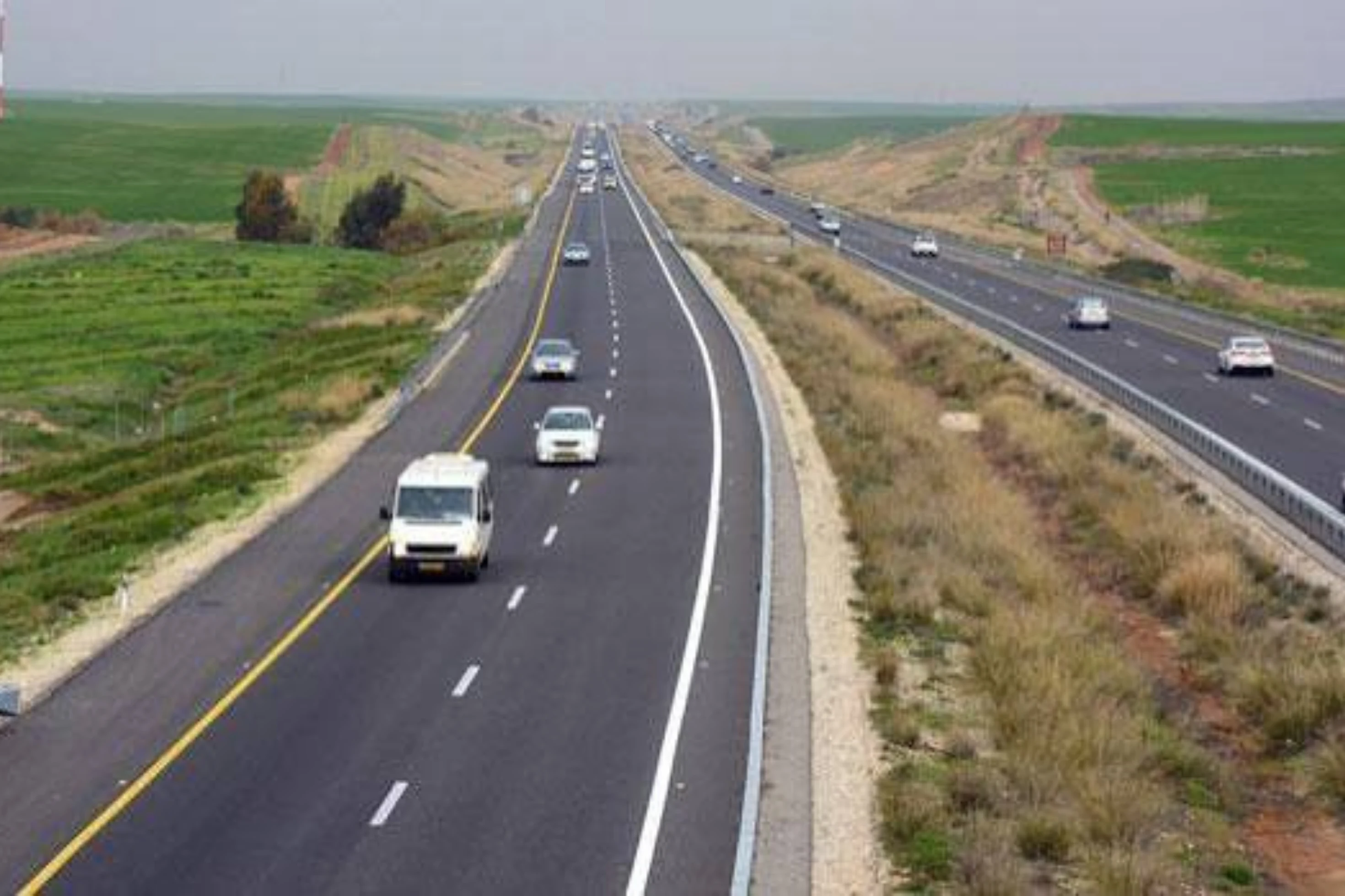
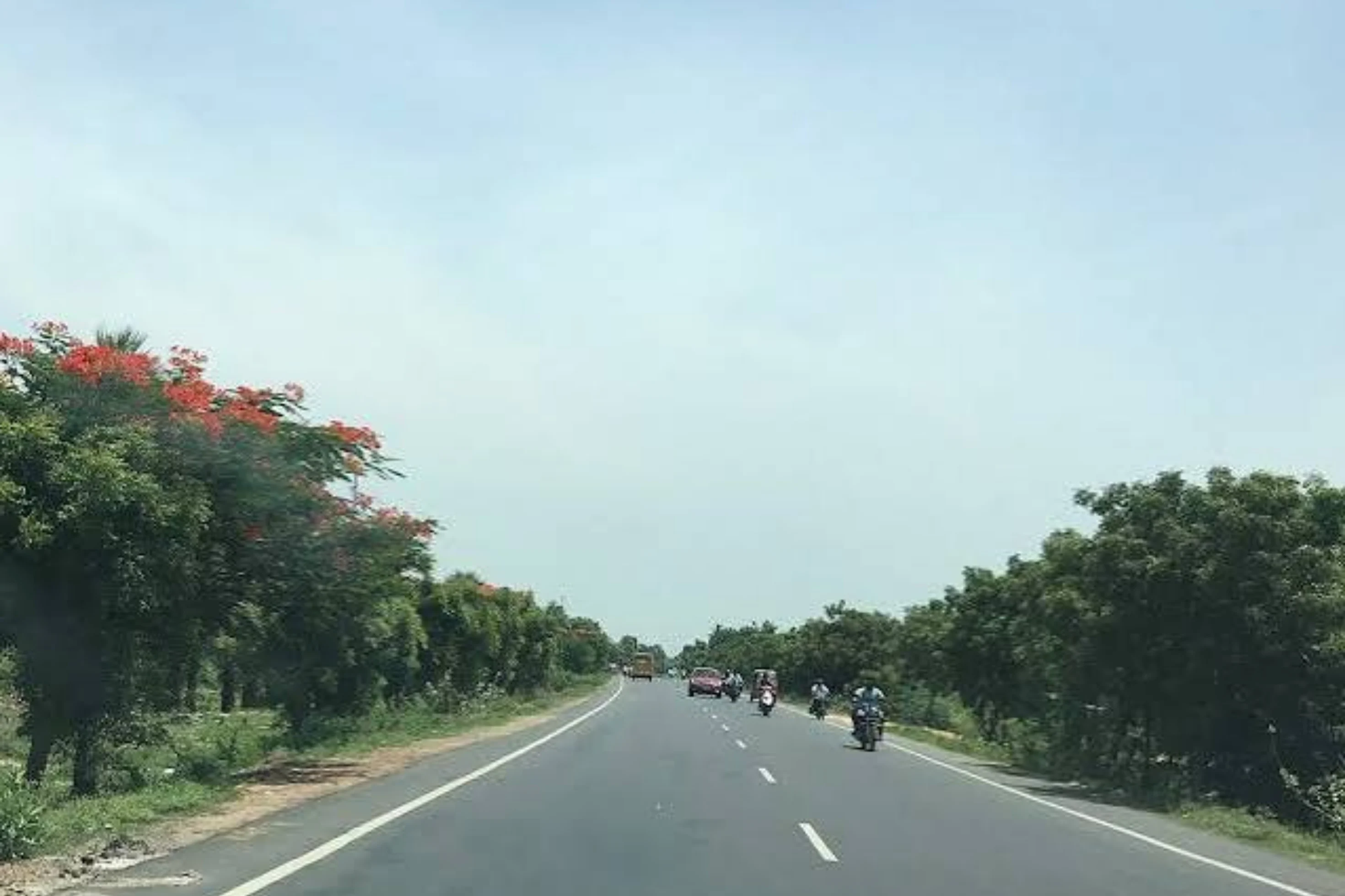
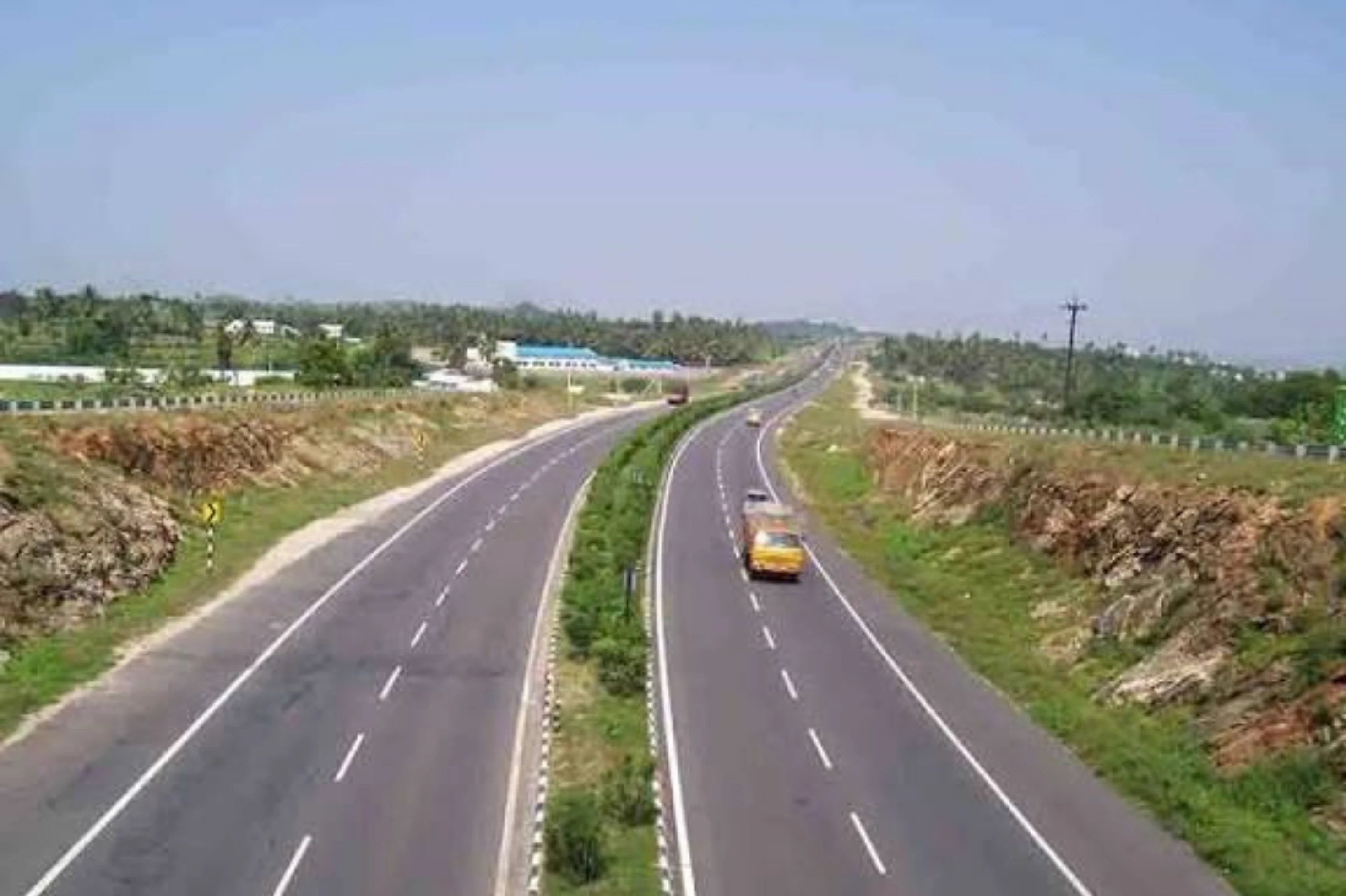
This is a project-level account from RoadVision AI's road survey programme for NHAI's Kolkata Regional Office, covering the six-laning of the Dhankuni – Kharagpur section of NH-6 (now NH-16), from km 17.600 to km 129.000 in West Bengal, executed as a BOT (Toll) project on DBFOT pattern under NHDP Phase V. It sets out what the Survey 2 and Survey 3 records found, and why a toll road in operation is exactly where an independent condition record earns its keep.
This section of old NH-6 (now NH-16) connects Dhankuni to Kharagpur in West Bengal, covering 111.4 km from km 17.600 to km 129.000. It has been six-laned as a BOT (Toll) project. The Survey 2 record carries 110.95 km of road, divided into 1,030 segments at a 100 m chainage interval.
In the survey programme the corridor is tracked under the Kolkata PIU of the Kolkata Regional Office, as one of three roads in Weekly-Cycle-5. Because every finding is tied to a chainage, a corridor of 111 km can be read stretch by stretch rather than as a single average.
As publicly reported, the six-laning of this section was taken up as a BOT (Toll) project on DBFOT (Design, Build, Finance, Operate and Transfer) pattern under NHDP Phase V, at an estimated cost of about ₹1,396.18 crore, and is delivered through a special purpose vehicle that holds the concession. On a toll road, the concessionaire builds, finances, and then operates and maintains the road for the concession period, while road users pay to use it. That puts a premium on knowing, independently, how the road actually looks on the ground, kilometre after kilometre. A consistent, chainage-tied record shows what is wrong, how urgent it is, and whether it has been put right by the next survey.
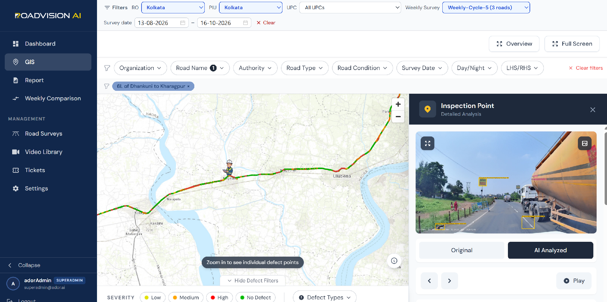
Every finding sits on a live GIS map, with each inspection point opening to its exact location, the defect flagged, and the frame behind it in both original and AI-annotated form. Figure 1 shows the highway, filtered to the 6L of Dhankuni to Kharagpur road, for the survey window of 13 August to 16 October 2026. The inspection point opened in the panel, captured in daylight on 16 October, flags unauthorized signboards and hoardings, garbage and debris, and faded pavement marking in a single frame, with heavy goods traffic alongside. On a six-lane corridor, findings are rarely about one defect; they are about the several small things that sit together at the edge of the carriageway.
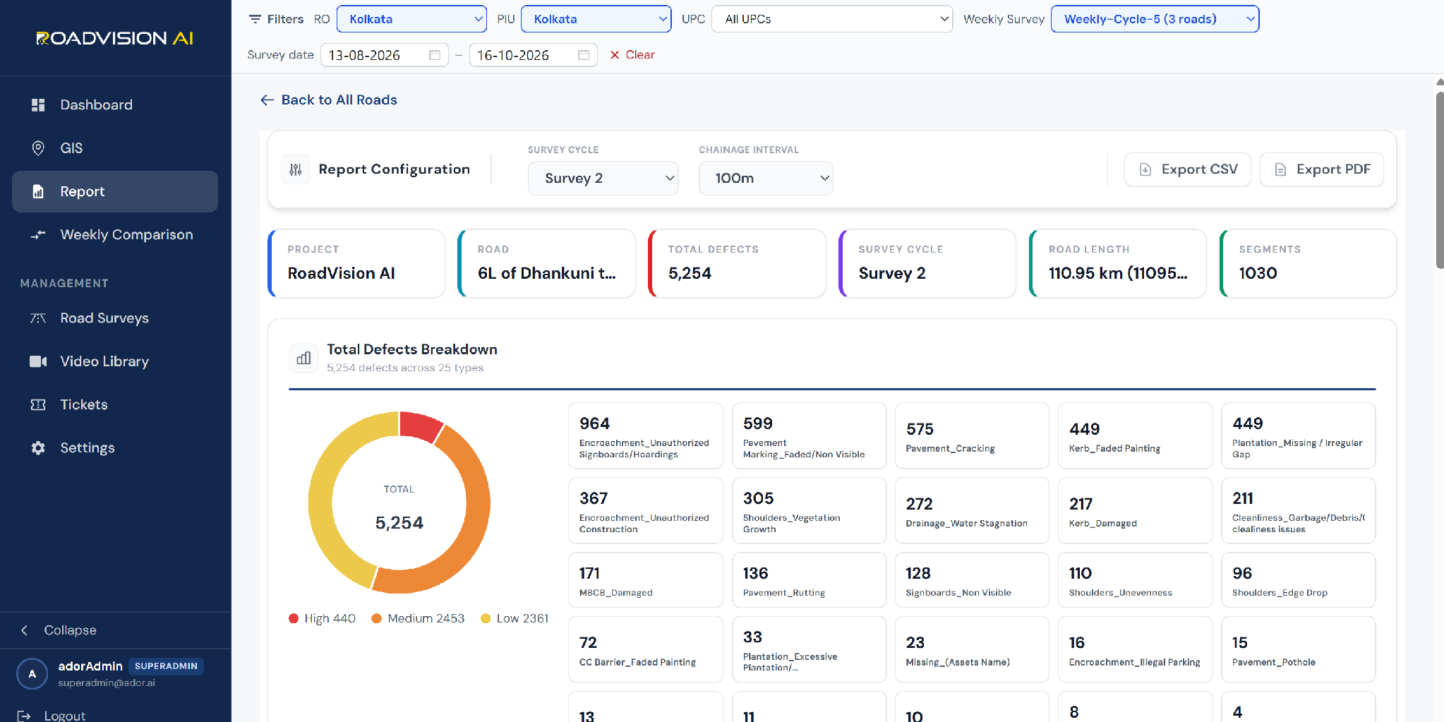
The Survey 2 record, within the 13 August to 16 October 2026 survey window (Weekly-Cycle-5), covered 110.95 km across 1,030 segments. RoadVision AI logged 5,254 defects across 25 defect types. Unauthorized signboards and hoardings account for 964 (18.3%), faded or non-visible pavement marking for 599 (11.4%), pavement cracking for 575 (10.9%), faded kerb painting and missing or irregular plantation for 449 each (8.5%), unauthorized construction for 367 (7.0%) and shoulder vegetation growth for 305 (5.8%). By severity, 440 defects are High (8.4%), 2,453 Medium (46.7%) and 2,361 Low (44.9%). Grouped by where they sit, 3,732 findings (71.0%) are roadside and edge items: encroachments, kerbs and barriers, shoulders, drainage, plantation and cleanliness.
Survey 3 covered a shorter stretch of 29.17 km across 292 segments and logged 2,687 defects across 22 defect types, as Figure 3 shows. Unauthorized signboards and hoardings again lead with 745 (27.7%), followed by garbage and debris with 333 (12.4%) and unauthorized construction with 272 (10.1%). By severity, 175 defects are High (6.5%), 1,234 Medium (45.9%) and 1,278 Low (47.6%). The two surveys are not like-for-like, since they cover different lengths of road, but the density is telling: roughly 92 defects per km in Survey 3 against about 47 per km in Survey 2, and 84 potholes in 29 km against 15 across the whole of Survey 2. A chainage-level record is what lets the PIU see which stretches carry the heaviest load.
Each survey gives the Kolkata PIU and the Kolkata Regional Office a defect ID, chainage and survey reference for every finding, independent of the agency doing the work. With a concession in place, a later survey of the same chainage shows whether each finding has been closed out, so that verification does not rest on the concessionaire's own account.
RoadVision AI is committed to continuous AI-based monitoring along NH-6 (now NH-16) from Dhankuni to Kharagpur, giving NHAI a consistent, chainage-level record of a six-lane corridor that carries heavy traffic every day. Keeping that record current, survey after survey, is how the upkeep of a tolled highway can be shown to be doing its job.

The Autonomous Road Engineer
AI-powered road condition monitoring, asset management, & infrastructure intelligence helping agencies move from reactive maintenance to predictive road management.