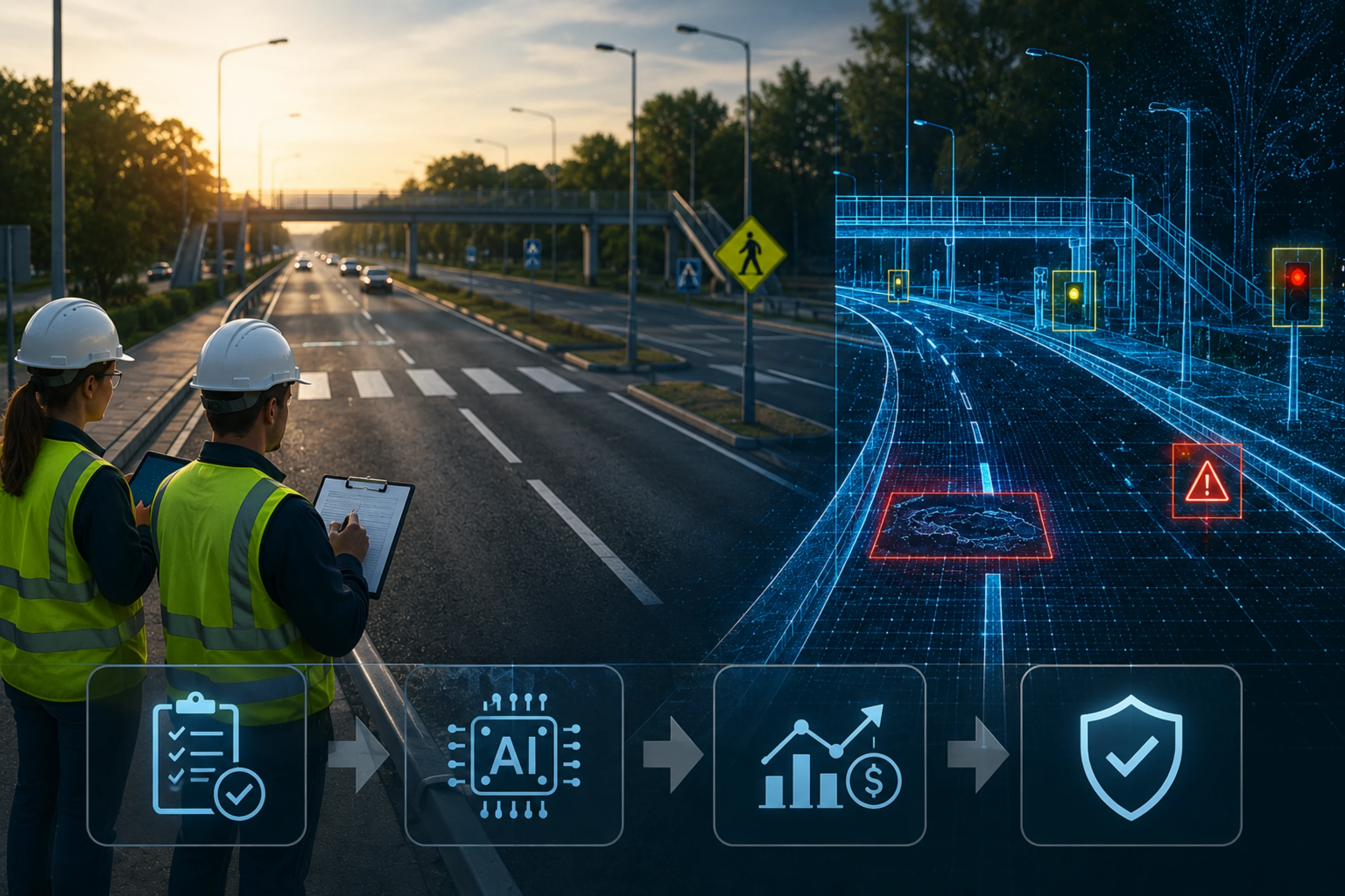
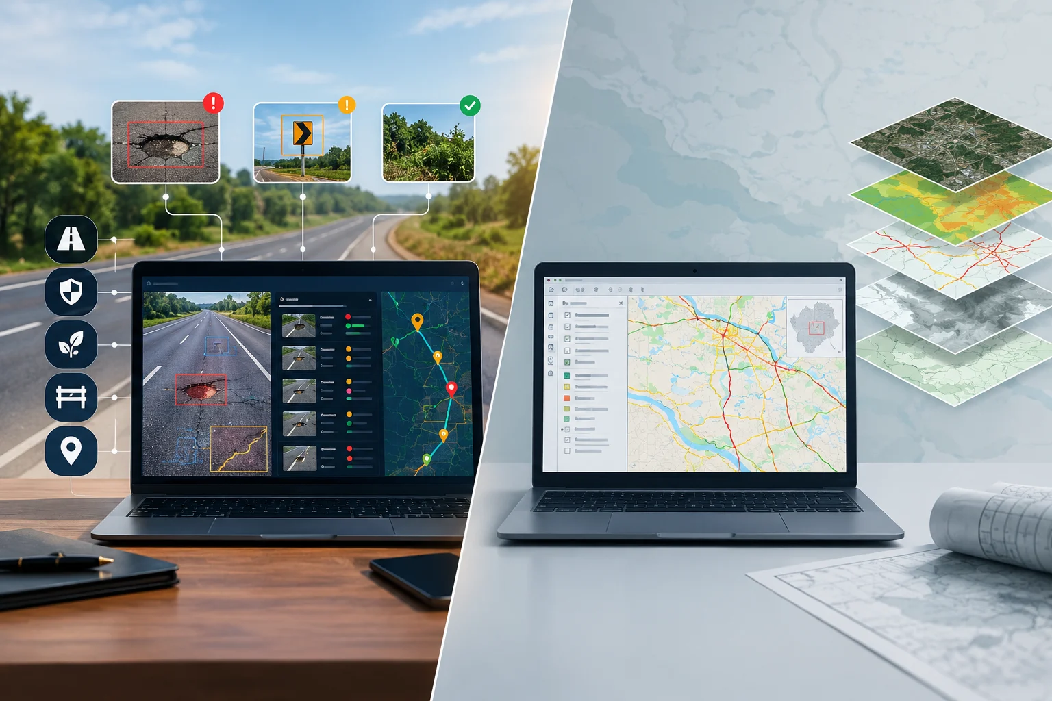
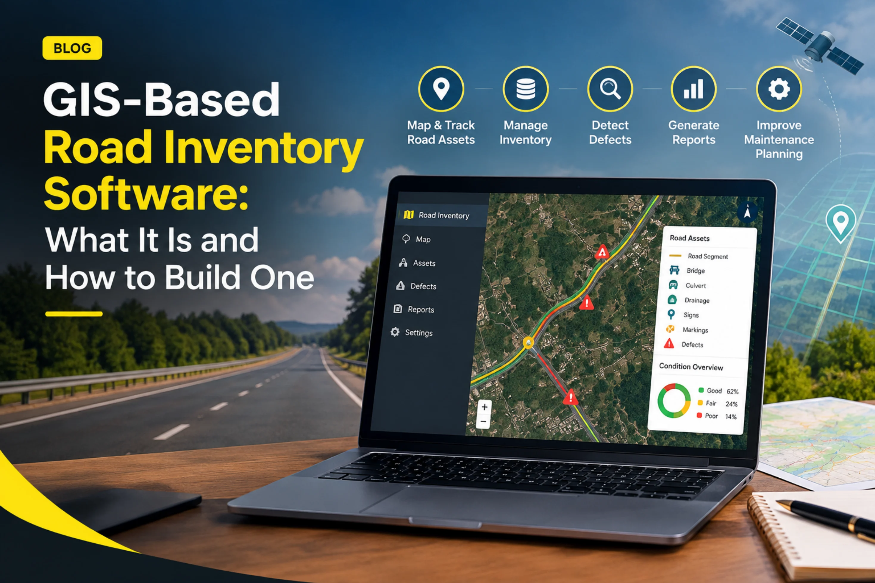
In 2027, AI road survey and inspection is moving from pilot projects to default practice. The main shifts are continuous fleet-based data collection replacing periodic dedicated surveys, inspection data feeding directly into planning and maintenance workflows rather than ending in a report, broader asset coverage beyond pavement (signs, drainage, encroachment), and AI agents beginning to automate routine decisions under human oversight. For agencies, the practical priorities are validating AI accuracy on their own roads, integrating inspection data with existing systems, building clear data governance, and keeping engineers in the loop for judgment-heavy decisions. These are expectations based on current trajectories, not guarantees, so plans should stay flexible.
A note on forecasts: This guide describes where the technology and market appear to be heading based on trends visible today. Specific adoption rates, regulations, and product capabilities will vary by region and vendor, and some of what's described here is still emerging. Treat it as planning input, not a prediction of exact outcomes.
A few years ago, AI road inspection was mostly something agencies read about and occasionally piloted. Today, the core technology is genuinely established: computer vision models can detect and classify common pavement defects from vehicle-mounted camera imagery, sensor fusion improves confidence, and results arrive as structured, geotagged data. Cameras and processing hardware have become cheap enough to put on ordinary fleet vehicles, and many agencies have run at least a small pilot.
What's changing now is less about whether the technology works and more about how it gets used. The questions agencies are asking have shifted from "can AI detect a pothole?" to "how do we make this part of how we actually run the network?" That shift defines most of the trends below.
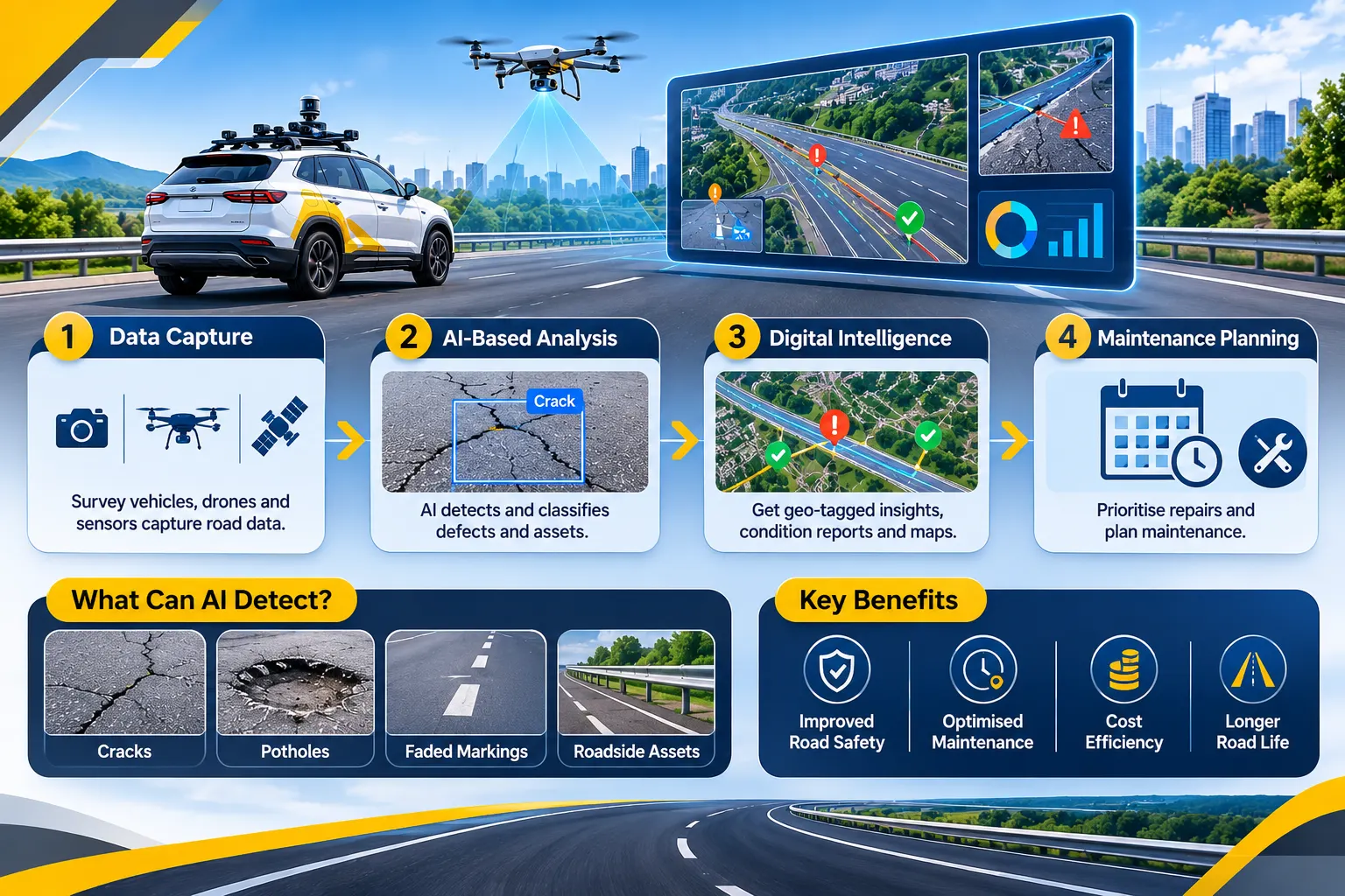
The traditional model was a survey every one to several years, producing a snapshot that began aging the day it was finished. The emerging model uses vehicles already on the road, such as buses, municipal fleets, and service trucks, as passive data collectors, so condition data refreshes continuously instead of in big, infrequent batches.
This matters because pavement deterioration isn't linear. Roads often hold up for years and then decline quickly, and the window for cheap preventive treatment is short. More frequent data makes it much more likely agencies catch that window. Dedicated survey vehicles aren't going away, since they capture precision data that dashcams can't, but expect them to be used for calibration, benchmarking, and project-level detail while fleet-based monitoring carries the routine load.
Historically, an inspection ended with a report. In 2027, the more competitive systems treat the report as a midpoint. Detections get severity-scored and prioritized automatically, tied to location and asset records, and routed into work orders and maintenance planning with little manual re-entry.
The value here is closing the gap between detecting a problem and fixing it. An agency can have excellent detection and still lose weeks to hand-offs between systems. Expect buyers to scrutinize integration depth as much as detection accuracy, and to ask vendors how a finding actually becomes a dispatched repair.
Pavement defects detection were the first target because they're visually distinctive and well labeled in training data. The same imagery contains much more: signs and markings, guardrails, drainage inlets, vegetation encroachment, and unauthorized structures or hoardings. Expect more platforms to extract multiple asset classes from a single data collection pass, which reduces survey costs and helps connect related issues, such as pavement distress concentrated around a blocked drain.
This also reshapes how agencies think about inventories. Building and maintaining a GIS-based asset inventory from imagery is becoming practical, with change detection keeping records current between major surveys.
Condition surveys and real-time hazard detection are converging in some deployments. The same pipeline that builds long-term condition data can also flag severe, newly formed hazards quickly enough to trigger an alert. The two have different design priorities, with condition work favoring classification depth and hazard work favoring low latency, so well-built systems handle both pathways deliberately rather than assuming one covers the other.
One of the more significant developments to watch is the move from AI that detects to AI agents that act. Instead of only flagging a defect, an agent might assess severity in context, check for related issues nearby, draft a work order, flag a scheduling conflict with planned utility work, and escalate only the cases that need a human.
How far this goes in 2027 will vary. Early deployments are generally limited to well-defined, lower-risk tasks with human approval for consequential actions. Agencies should expect this to be adopted gradually, and should insist on clear boundaries for what an agent can do autonomously, audit trails for what it did, and human oversight for safety-critical or high-cost decisions.
As AI outputs increasingly inform budgets, contractual payments, and compliance certifications, scrutiny of those outputs is rising. Procurement teams and auditors are asking harder questions: how was the model validated, on what data, under what conditions, and how does it perform on our roads rather than on a vendor's demo dataset? Expect more agencies to require pilot validation against a manual baseline, documented accuracy by defect type and condition, and the ability to explain why a particular finding was flagged.
Inspection standards, contract specifications, and certification frameworks were written around manual and specialized-equipment methods. They're gradually being updated to address AI-based measurement, but unevenly and at different speeds across jurisdictions. Agencies using AI-derived data for formal certification should confirm how it is recognized under their applicable standards and contracts, and should track revisions, since requirements in this area are still evolving.
More frequent extreme weather is raising demand for fast post-event assessment. Satellite imagery, drones, and vehicle-based AI inspection are increasingly used together to triage damage after floods, storms, and heat or freeze events. Seasonal readiness is also getting more attention: pre-season risk mapping, in-season monitoring, and post-season assessment, rather than reacting to a backlog after the fact.
Continuous camera-based collection raises real questions about privacy, data retention, and ownership, particularly when imagery comes from fleet vehicles or partner organizations. Expect governance to move from an afterthought to a procurement criterion: how footage is anonymized, how long it's kept, who owns the derived data, and whether agencies can export their data if they change vendors.
Run AI collection on segments your inspectors have already rated, then compare. This builds trust where the technology performs well, reveals where manual verification should stay, and gives you evidence for internal and procurement conversations that no vendor brochure can.
Decide in advance how findings will reach maintenance teams, what gets auto-prioritized, what needs human review, and which systems need to integrate. Detection accuracy is necessary, but the operational value comes from what happens after the finding.
The strongest programs use AI for coverage and consistency and engineers for diagnosis and decisions. Plan roles accordingly: less routine survey, more verification, interpretation, and treatment selection.
Clarify data ownership, export rights, privacy practices, and how AI-derived data will be treated for compliance purposes before committing to a multi-year arrangement.
Technology licenses are often the smaller part of the effort. Integration with GIS and maintenance systems, data migration, training, and process change are where projects succeed or stall.
Standards, products, and capabilities are moving quickly. Prefer modular, interoperable approaches and contracts that allow you to adapt, rather than locking into assumptions that may be outdated within a year or two.
By 2027, the question facing most road agencies is no longer whether AI can survey and inspect roads, but how to build it into the way the network is managed. The direction of travel is clear: continuous monitoring over periodic snapshots, inspection data flowing into maintenance workflows, wider asset coverage, early automation of routine decisions, and rising expectations for validation, governance, and standards alignment. The agencies best positioned are those that pilot against their own baseline, design the whole workflow rather than just the detection step, keep engineering judgment in the loop, and stay flexible as the technology and the rules around it keep evolving.
RoadVision AI helps agencies move from periodic surveys to continuous AI road intelligence, turning inspection data into prioritized, actionable insight across the road network, with engineers staying in control of the decisions that matter.
Planning your 2027 inspection program? Talk to the RoadVision AI team to learn more or set up a pilot on your network.
It's the use of cameras, sensors, and computer vision to automatically detect, classify, and locate road defects and assets, replacing or supplementing manual inspection with faster, more consistent, structured data.
Key trends include continuous fleet-based monitoring, inspection data feeding directly into maintenance workflows, broader asset coverage, early use of AI agents for routine decisions, and stronger expectations around validation, governance, and standards.
Unlikely. AI is becoming the default for broad, frequent network monitoring, but engineers remain essential for structural diagnosis, ambiguous findings, and safety-critical decisions.
Instead of periodic dedicated surveys, vehicles already on the road, such as buses and municipal fleets, collect camera data during normal operations, so condition data refreshes frequently rather than every year or more.
They're AI systems that go beyond detection to take or recommend actions, such as assessing severity in context, drafting work orders, or flagging scheduling conflicts. Early deployments typically keep humans approving consequential decisions.
Run a pilot on segments that have already been manually rated, compare the results, and ask vendors for documented accuracy by defect type and condition rather than relying on a single headline figure.

The Autonomous Road Engineer
AI-powered road condition monitoring, asset management, & infrastructure intelligence helping agencies move from reactive maintenance to predictive road management.