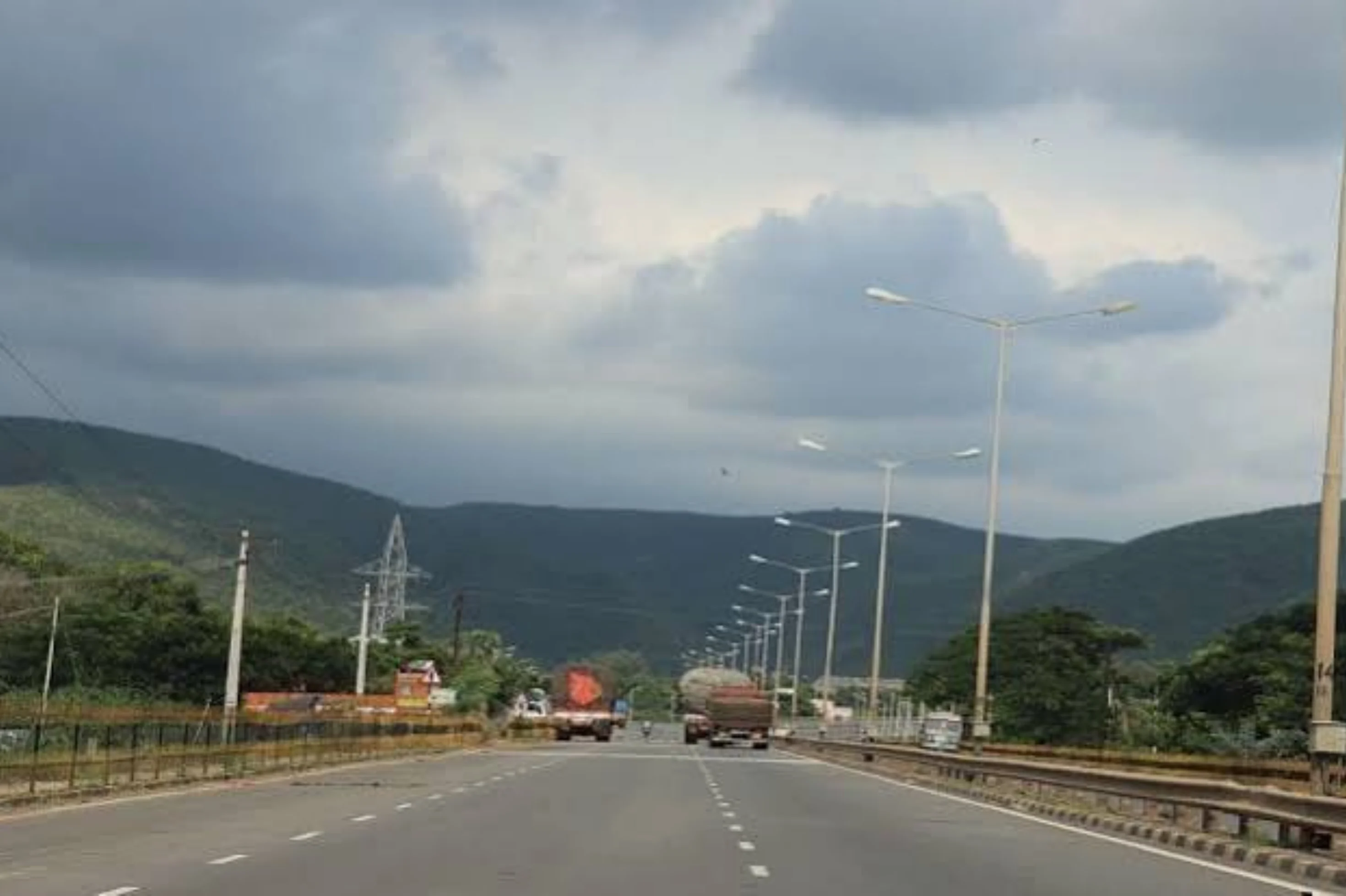
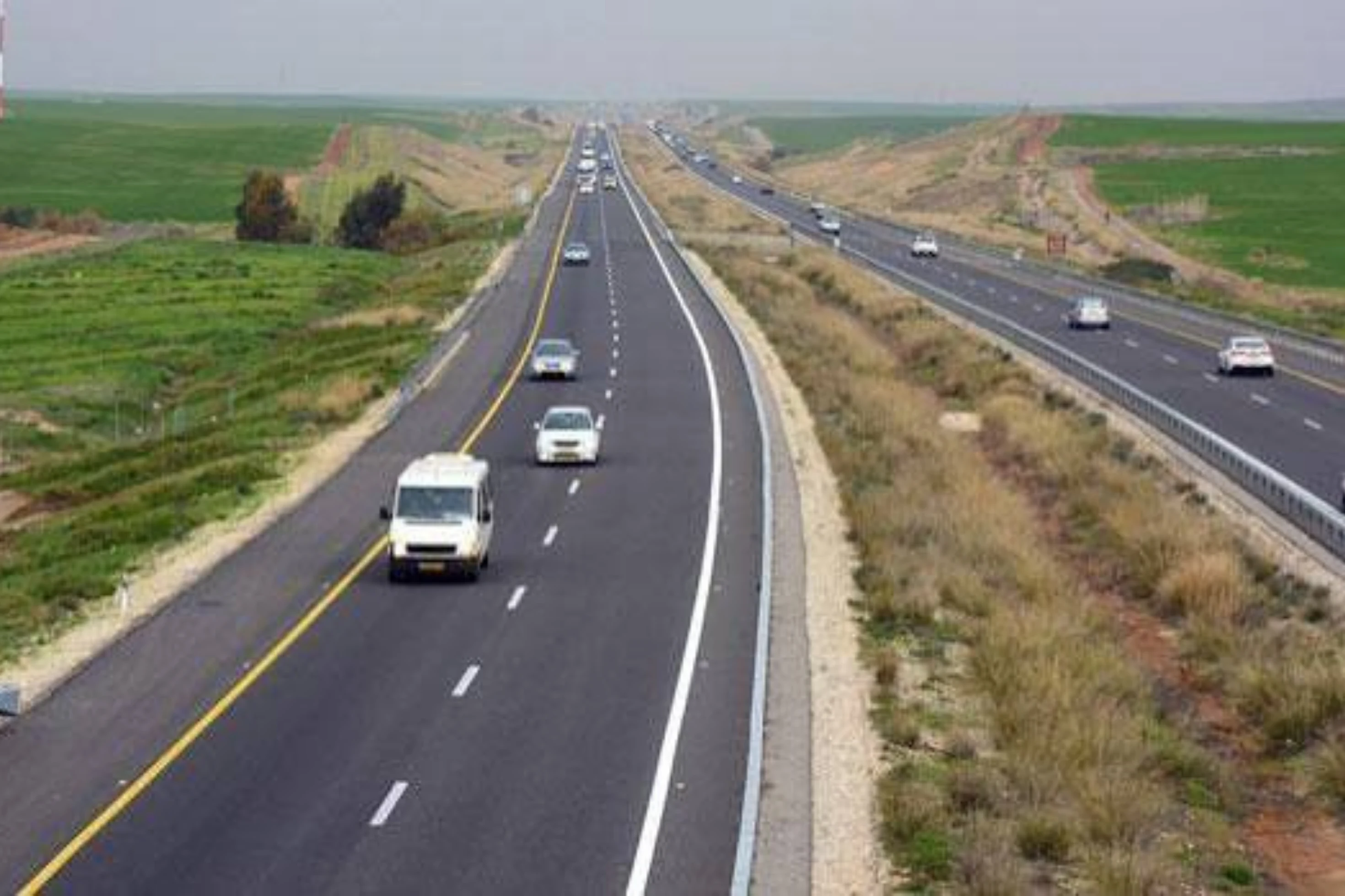
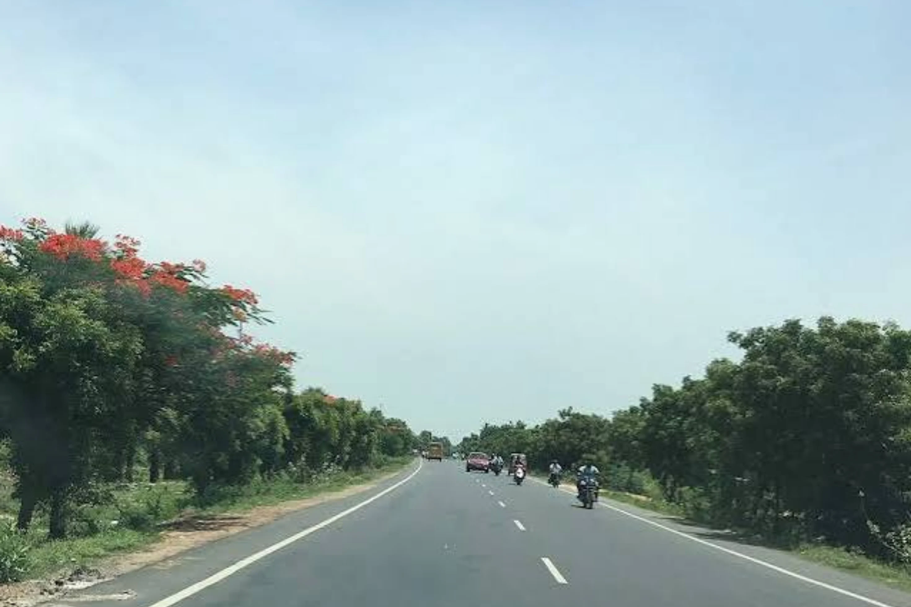
This is a project-level account from RoadVision AI's road survey programme for NHAI's UP (East) Regional Office, covering the four-laning of the Jagdishpur – Faizabad section, from km 47.930 to km 107.680 of NH-330A, in Uttar Pradesh. It sets out what the survey of 4 September 2026 found, and why a four-laned road under a hybrid annuity model is exactly where an independent condition record earns its keep.
This section of NH-330A connects Jagdishpur, including the UPSIDA Industrial Area, to Faizabad (Ayodhya) in Uttar Pradesh, covering 59.75 km from km 47.930 to km 107.680. It is a four-lane divided carriageway. Because each carriageway of a divided road is surveyed separately, the survey record carries 123.7 km of surveyed length against the project length of about 60 km.
As publicly described, the road forms part of the Ayodhya–Chitrakoot and Banda–Ayodhya inter-corridor route, improving connectivity towards Lucknow, Raebareli, Varanasi and Prayagraj. In the survey programme it is tracked under the UP (East) Regional Office, as project code N/08023/03001/UP, and is the single road in Weekly-Cycle-5.
As publicly reported, the section is being delivered on Hybrid Annuity Mode (HAM) under the Bharatmala Pariyojana, and is described as a divided carriageway with bridges, flyovers, median street lighting and directional signage. Under a hybrid annuity model, the developer builds the road and then maintains it through a long operating period, with annuity payments tied to its upkeep. That makes it important to know, independently of the developer's own reporting, how the road actually looks on the ground. A consistent, chainage-tied record shows what is wrong, how urgent it is, and whether it has been put right by the next survey.
Every finding sits on a live GIS map, with each inspection point opening to its exact location, the defect flagged, and the frame behind it in both original and AI-annotated form. Figure 1 shows the highway for the survey of 4 September 2026, running towards Faizabad, with an inspection point captured on the afternoon of 4 September and flagging missing drain cover slabs and faded kerb painting at the edge of the carriageway, with a cow on the verge. A frame like this is a reminder that the survey records conditions as road users meet them, including the drainage and roadside details that sit just outside the lane.
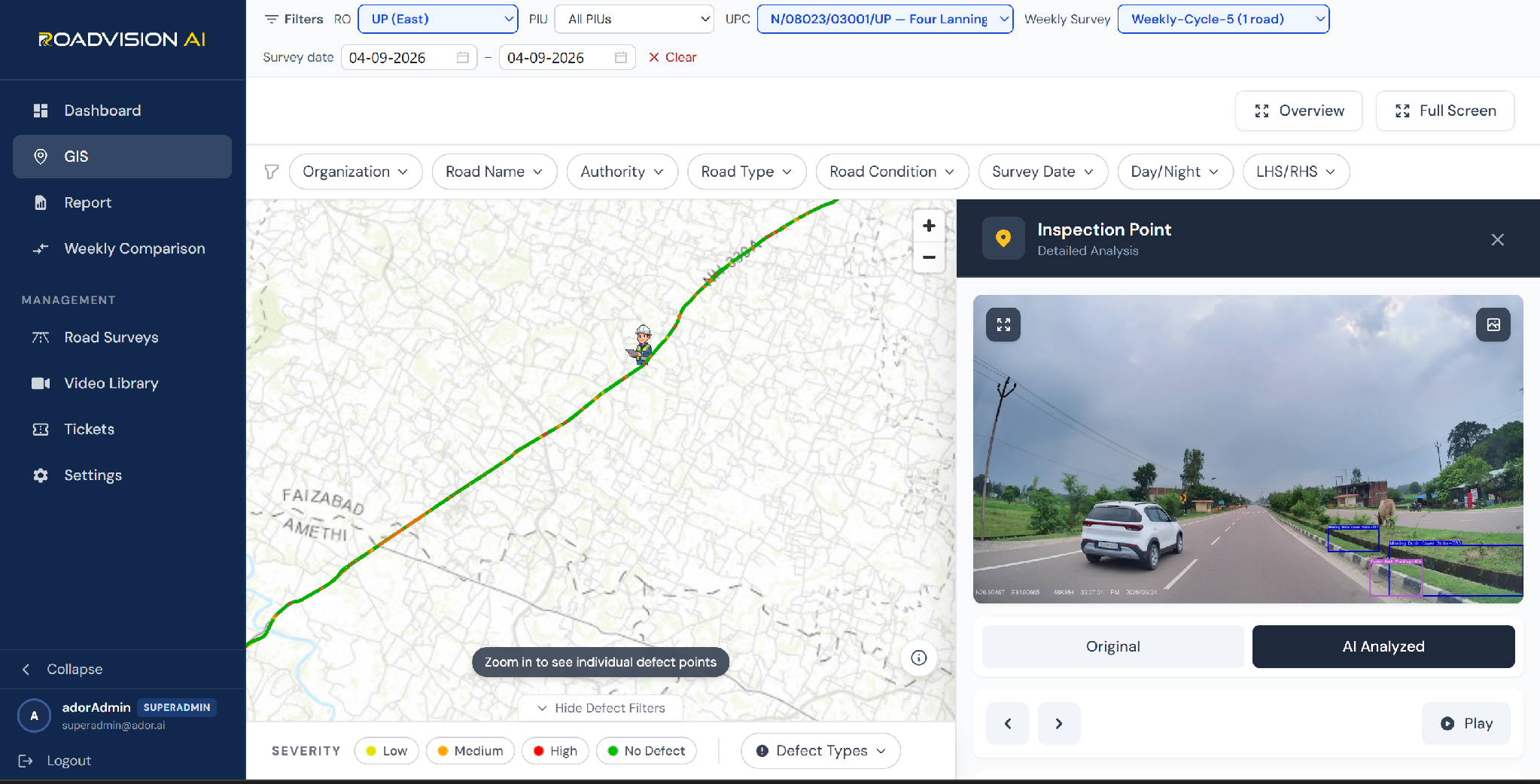
Figure 1: GIS view of NH-330A, Jagdishpur to Faizabad, for 4 September 2026, with an inspection point flagging missing drain cover slabs and faded kerb painting.
The survey of 4 September 2026 rated 55.82 km of the road: 35.31 km (63.3%) Good, 14.81 km (26.5%) Fair and 5.70 km (10.2%) Poor. In the roadway-surface view, RoadVision AI logged 1,301 findings across seven defect types. Water stagnation accounts for 499 (38.4%), cracking for 378 (29.1%), shoulder edge drop for 230 (17.7%), rutting for 75 (5.8%), shoulder vegetation growth for 68 (5.2%), potholes for 28 (2.2%) and shoulder unevenness for 23 (1.8%). Of these, 333 (25.6%) are High severity. The survey was taken in early September, within the monsoon season, when drainage performance is tested hardest.
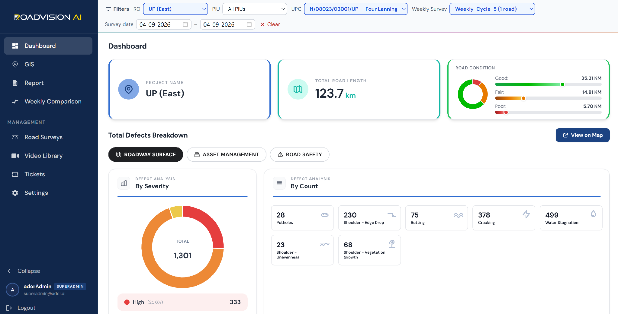
Figure 2: Dashboard for NH-330A, survey of 4 September 2026 — road condition split and 1,301 roadway-surface findings by defect type.
Each survey gives the UP (East) Regional Office a defect ID, chainage and survey reference for every finding, independent of the agency doing the work. A later survey of the same chainage then shows whether the finding has been closed out, so that verification does not rest on the developer's own account.
RoadVision AI is committed to continuous AI-based monitoring along NH-330A from Jagdishpur to Faizabad, giving NHAI a consistent, chainage-level record of a link that joins an industrial area to Ayodhya. Keeping that record current, survey after survey, is how the upkeep of an annuity road can be shown to be doing its job.

The Autonomous Road Engineer
AI-powered road condition monitoring, asset management, & infrastructure intelligence helping agencies move from reactive maintenance to predictive road management.