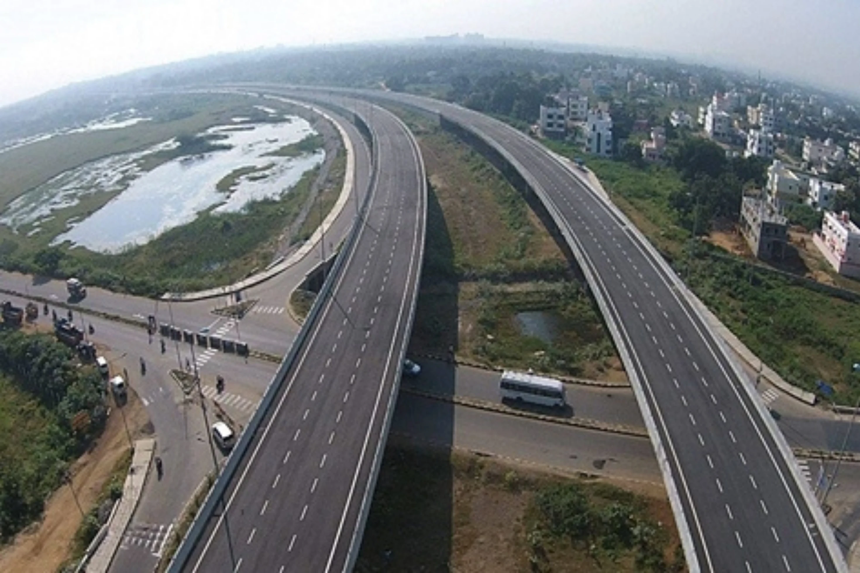
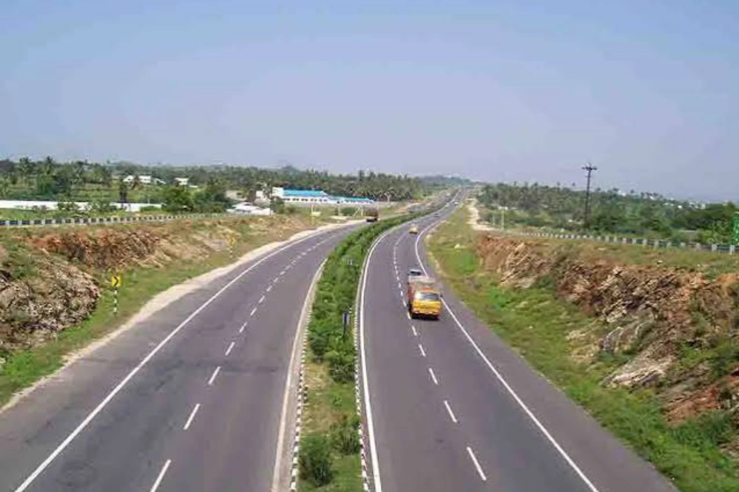
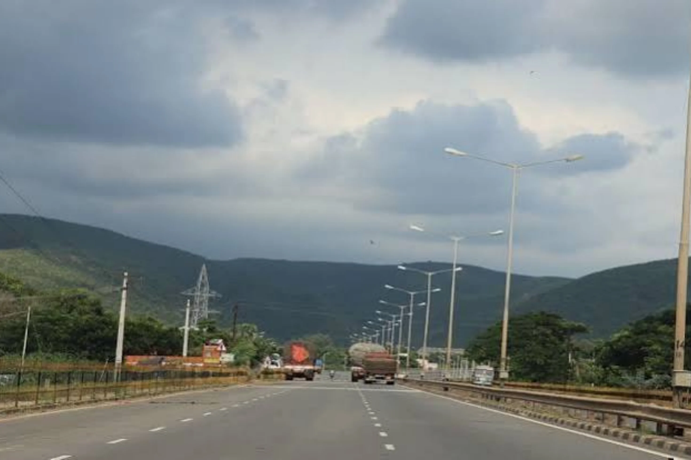
This is a project-level account from RoadVision AI's road survey programme for NHAI's UP (West) and UP (East) Regional Offices, covering three roads on the Lucknow–Gorakhpur stretch of old NH-28 surveyed in Weekly-Cycle-5: the 4-lane Lucknow Ring Road Package-3B, the Ayodhya – Gorakhpur section from km 137.97 to km 252.86 of old NH-28, and the Gorakhpur Bypass (four-laning from km 79.670 of NH-29E to km 251.700 of NH-28; bypass km 0.000 to km 32.27 connecting NH-28). It sets out what the surveys found, and why a single corridor run under different arrangements is exactly where an independent condition record earns its keep.
Old NH-28 is a major east–west corridor, publicly described as running about 570 km from Lucknow in Uttar Pradesh to Barauni in Bihar, through Barabanki, Ayodhya, Gorakhpur, Kushinagar, Deoria, Gopalganj, Muzaffarpur and Begusarai. This case study looks at the Lucknow–Gorakhpur stretch in Uttar Pradesh, which the survey programme tracks as three separate roads.
The first is the 4-lane Lucknow Ring Road Package-3B, from km 17.600 to MDR-77C and terminating at km 15.650 of NH-28, with 56.92 km surveyed under the UP (West) Regional Office. The second is the Ayodhya – Gorakhpur section, from km 137.97 to km 252.86 of old NH-28, tracked under the Ayodhya PIU of the UP (East) Regional Office, with 109.76 km surveyed. The third is the Gorakhpur Bypass, with 31.46 km surveyed. Together they give 198.14 km of surveyed road.
The three roads are not run alike. The Ayodhya – Gorakhpur section sits under package reference 1/NHAI/OMT/Pkg-11/2011, which marks it as an Operation, Maintenance and Transfer (OMT) package, where an operator keeps an existing highway in order over a concession period. The Lucknow Ring Road and the Gorakhpur Bypass are four-lane projects. That makes it hard to tell, from a desk or an occasional visit, how each road is actually being kept, and whether effort is going where the need is. A consistent, chainage-tied record answers that: it shows what is wrong, how urgent it is, and whether it has been put right by the next survey.
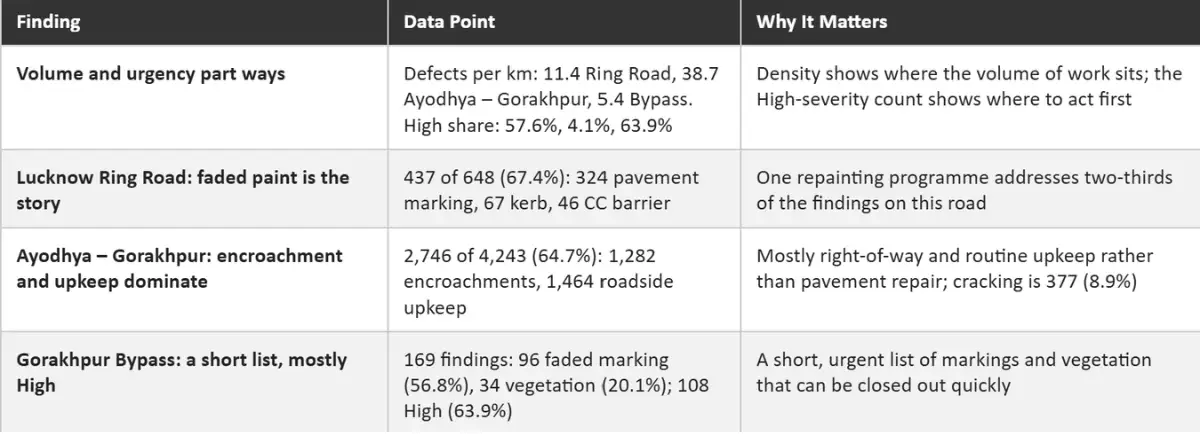
The Lucknow Ring Road Package-3B report for Survey 1 covered 56.92 km at a 100 m chainage interval and logged 648 defects across 18 defect types, as Figure 1 shows. Faded pavement marking accounts for 324 (50.0%), shoulder vegetation growth for 92 (14.2%), faded kerb painting for 67 (10.3%), faded painting on concrete crash barriers for 46 (7.1%) and cracking for 35 (5.4%). Taken together, the faded-paint items on markings, kerbs and CC barriers make up 437 findings (67.4%). By severity, 373 are High (57.6%), 176 Medium (27.2%) and 99 Low (15.3%).

The Ayodhya – Gorakhpur report for Survey 5 covered 109.76 km and logged 4,243 defects across 27 defect types, as Figure 2 shows. Unauthorized signboards and hoardings account for 1,110 (26.2%), faded or non-visible pavement marking for 552 (13.0%), shoulder vegetation growth for 451 (10.6%), garbage and debris for 390 (9.2%), cracking for 377 (8.9%) and faded kerb painting for 303 (7.1%). Grouped by type, 1,282 findings (30.2%) are encroachments and 1,464 (34.5%) are roadside upkeep: shoulders, garbage, drainage and plantation. By severity, only 175 are High (4.1%), against 2,223 Medium (52.4%) and 1,845 Low (43.5%).

The Gorakhpur Bypass report for Survey 6 covered 31.46 km and logged 169 defects across 7 defect types, as Figure 3 shows. Faded pavement marking leads with 96 (56.8%), followed by shoulder vegetation growth with 34 (20.1%), cracking with 21 (12.4%), non-functional highway lights with 9 (5.3%) and unauthorized hoardings with 5 (3.0%). By severity, 108 are High (63.9%), 27 Medium (16.0%) and 34 Low (20.1%). Put side by side, the three roads show about 11.4 defects per km on the Ring Road, 38.7 on Ayodhya – Gorakhpur and 5.4 on the bypass, yet the High-severity share runs the other way: 4.1% on Ayodhya – Gorakhpur against 57.6% and 63.9% on the other two. The surveys are of different cycles, so these are snapshots rather than a like-for-like trend, but they make the point that volume and urgency are not the same thing.

Each survey gives the UP (West) and UP (East) Regional Offices a defect ID, chainage and survey reference for every finding, independent of the agency doing the work. A later survey of the same chainage then shows whether the finding has been closed out, so that verification does not rest on the maintaining agency's own account.
RoadVision AI is committed to continuous AI road condition monitoring along old NH-28 from Lucknow to Gorakhpur, giving NHAI a consistent, chainage-level record of a corridor that no single road tells the whole story of. Keeping that record current, survey after survey, is how upkeep under different arrangements can be shown to be doing its job.

The Autonomous Road Engineer
AI-powered road condition monitoring, asset management, & infrastructure intelligence helping agencies move from reactive maintenance to predictive road management.